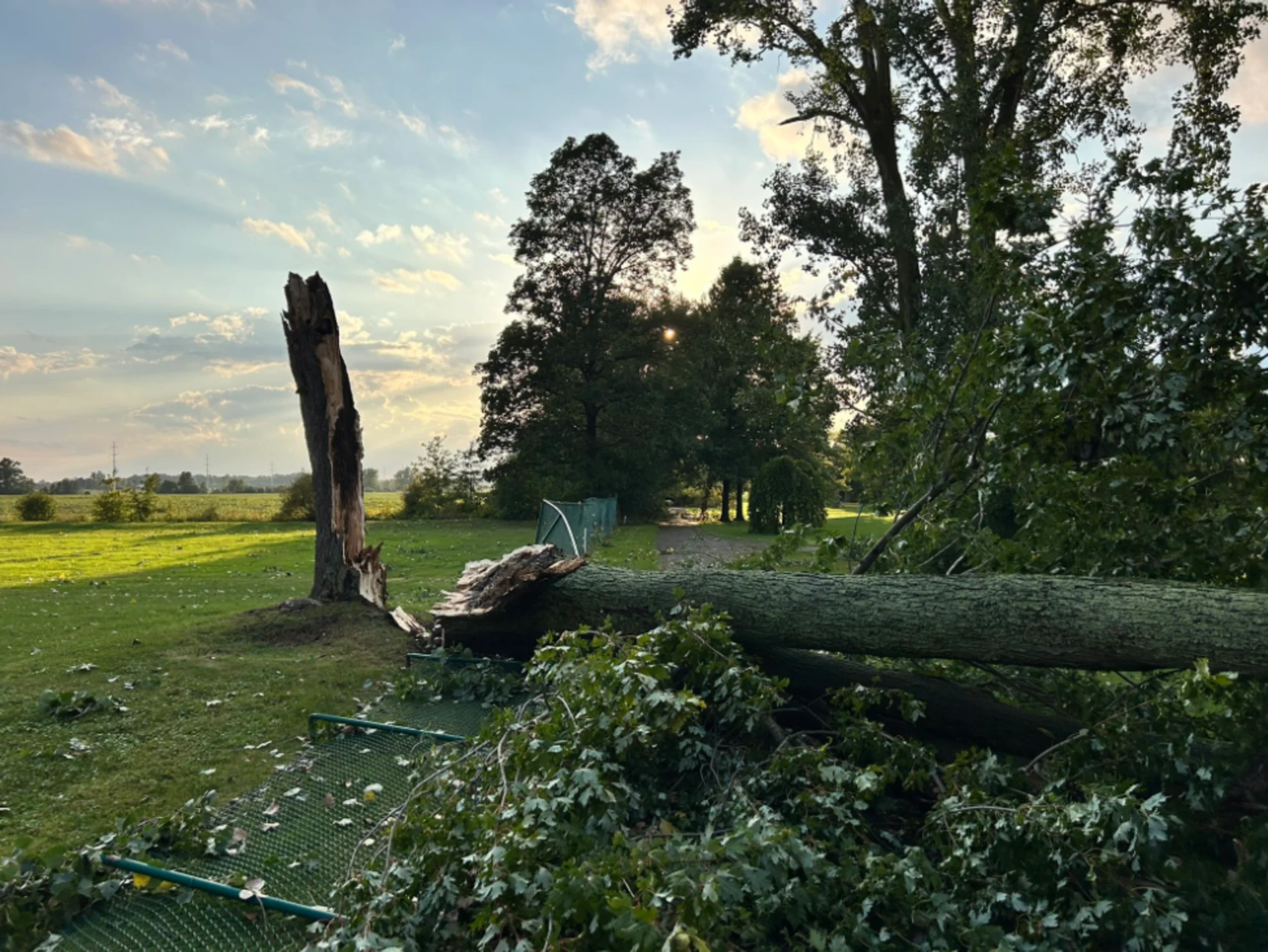
Tornado hits Niagara Falls Monday, damage shows downed trees, missing shingles

Tornado damage reported at the Niagara Falls Golf Club and nearby neighbourhood on Monday afternoon
The week started with rounds of rain and thunderstorms across parts of southern Ontario, as well as a confirmed EF0 tornado.
A supercell thunderstorm west of Niagara Falls prompted a tornado warning for the region, with the threat for damaging winds, large hail, and locally intense rainfall.
"A confirmed tornado is located near Niargara Falls, moving southeast at 50 km/h," said Environment and Climate Change Canada (ECCC) in the warning at 4:20 p.m. EDT.
Based on video and photo evidence of the damage, supported by radar showing a supercell storm moving southeast through the area, the Northern Tornadoes Project (NTP) confirmed the tornado at 4 p.m. on Monday.
"A preliminary EF0 rating is assigned based on downed branches/missing shingles," NTP tweeted.
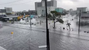
RELATED: Tropical tornadoes are a hidden danger in landfalling storms
Further investigation to determine the details of the damage path, which may extend to the U.S. border, will be done by NTP.
An extended stretch of warm and mostly dry weather will now take hold for the rest of this week, continuing through the weekend, and most of next week, as well.
SEE ALSO: Who holds onto the longest-setting September sun?
High temperatures will be in the low to mid 20s, and then warm to the mid to upper 20s for most of next week. A few spots could even reach mid summer-like values up to 30°C!