PHOTOS: Breathtaking shots of the Dec. 1 ice storm in Ontario
Several hours of freezing rain on Sunday, Dec. 1 created havoc on the roads and a shiny coating of ice on landscapes across Ontario
The meterological start to winter (Sunday, Dec. 1) was a treacherous day across southern Ontario, as a Colorado low brought a blast of wintry weather including several hours of freezing rain, which resulted in numerous fatal accidents and widespread power outages.
While the roads weren't a pretty sight afterwards, the icy conditions created a picturesque landscape -- coating trees, power lines, fences, rooftops and other types of infrastructure.
READ MORE: Ontario:Hwy. 401 re-opens near Kingston after major, deadly pileup
WINTER WONDERLAND IN ONTARIO
Weather Network meterologist and Storm Hunter Mark Robinson was lucky enough to capture some of the stunning scenery that occurred in the Waterdown-Hamilton area. His pictures provide a snapshot into what transpired on Dec. 1, showcasing the scenic side that ice can provide.
"Ice storms are a part of living in southern Ontario. They are most common on the eastern side of the country -- Ontario, Quebec and the Maritime provinces -- and can bring widespread damage if they are heavy enough," said Robinson.
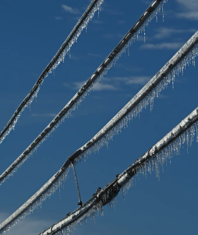
Blue skies and high pressure behind the storm are accompanied by cold temperatures, ensuring the ice will not melt quickly. High winds sweep in with the high pressure, and if the ice is heavy enough, a second round of power outages can occur. Photo: Mark Robinson
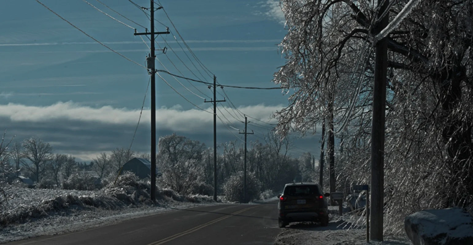
Ice coats the landscape. Ice storms are often limited in scope as the conditions that give rise to the super-cooled water needed are rare. However, extensive ice storms can happen and when they do, such images become common. Photo: Mark Robinson
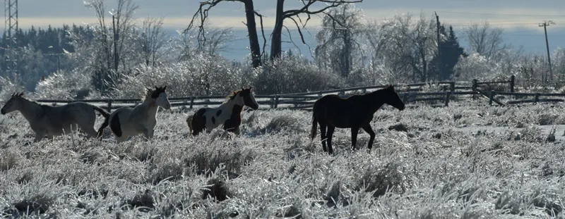
Crunching through the ice, the horses attempt to get at the grass. I managed to get close enough to them that I could hear the crackle of the ice below their hooves. Photo: Mark Robinson
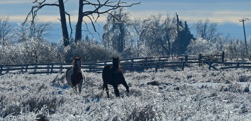
A lone horse stands amidst the ice. Almost a full centimetre of ice covers everything in the fields, grass, bushes and trees. To get this kind of ice, a warm layer of air aloft must sit over a thin below-zero Celsius layer. As frozen precipitation falls through the warm layer, it melts into water and then supercools as it drops through the freezing layer. When it impacts the ground, it freezes almost instantly. Photo: Mark Robinson
SEE ALSO: Windshield wiper blades: Is it a good idea to leave them up before a snowfall?
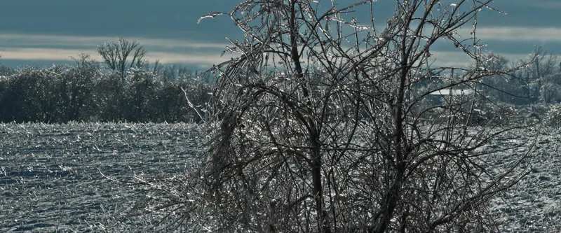
The ice can seriously impact the harvesting of crops. Ice storms tend to happen in the late fall or early winter and not all crops have been removed from the fields. Farmers can only wait for the ice to melt or count their losses if the ice had flattened the crops. Photo: Mark Robinson
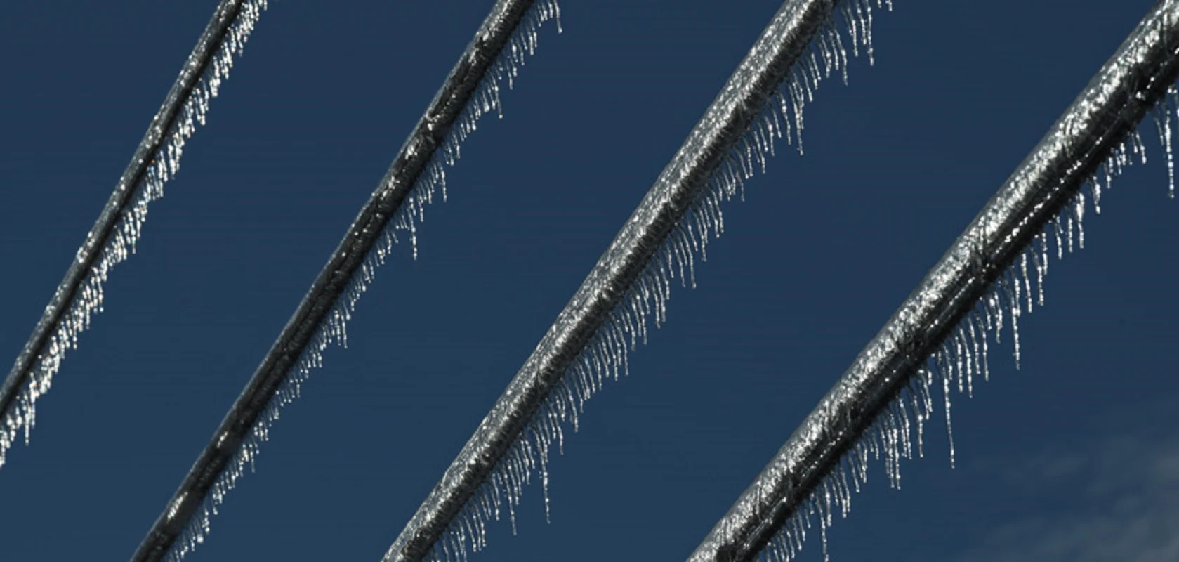
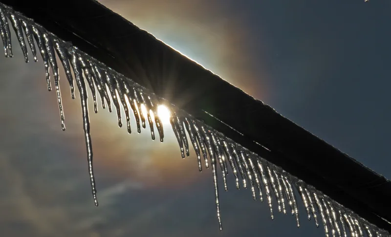
Infrastructure, especially power lines built above ground, is very vulnerable to ice storms. Breakage and short circuits due to the ice can wreak havoc on electrical grids. Photo: Mark Robinson
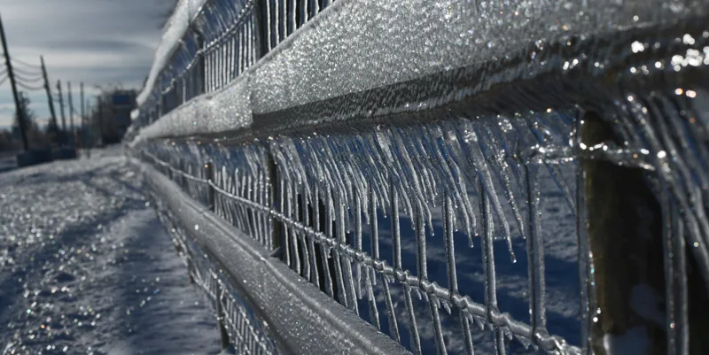
Jagged teeth of ice adorn a fence. The ice forms as super-cooled water (below 0°C) freezes on impact with a surface. Not all of it will instantly freeze however and instead drips down and forms the familiar icicle. Photo: Mark Robinson


