Moncton researchers developing artificial intelligence to fight wildfires
Researchers in New Brunswick are developing a new approach to tackling Canada's growing threat of wildfires: teaching artificial intelligence to find them faster.
A team of engineers at the Université de Moncton is fine-tuning an algorithm that works with satellite and drone images to detect fires more accurately than humans. The technology also predicts where a blaze will spread, helping firefighters know where to send resources.
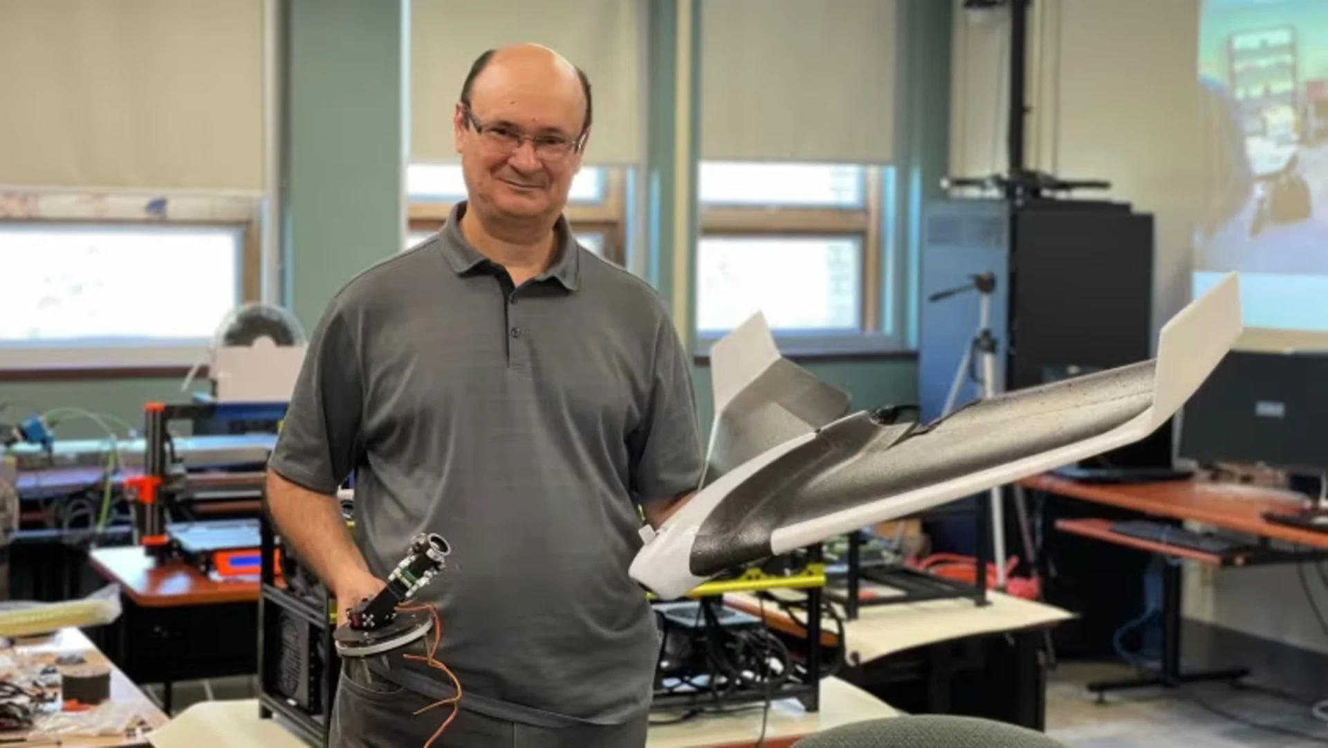
Moulay Akhloufi, a computer science professor and head of the Perception, Robotics and Intelligent Machines Laboratory, said it can help spot signs of a fire the human eye would miss.
"It's very accurate. Some of the algorithms are able to get to more than 99 per cent performance when we want to detect fires," he said.
After Canada's worst wildfire season on record, forestry and wildfire experts are turning to modelling and satellites as an increasingly important tool. While in early stages of development, some firefighters are already using artificial intelligence to inform decisions on the ground.
"We are using machine learning, when and where appropriate, to do a better job managing wildfires," said wildfire expert Mike Flannigan, of Thompson Rivers University.
"It's a very effective tool, though it's not a panacea. It's not going to solve all our problems."
Early detection
Inside the Moncton lab, researchers are looking at how machine learning can help with both early detection of fires and modelling possible spread.
The algorithm for spotting fires quickly analyzes data from different sources, including sensors on the ground and images from drones and satellites.
With those pictures, it rapidly scans pixel by pixel to search for smoke or flames — a level of precision beyond what the human eye could detect. If it spots something of concern, the algorithm then considers environmental conditions — like heat and wind — to determine if it's actually a fire.
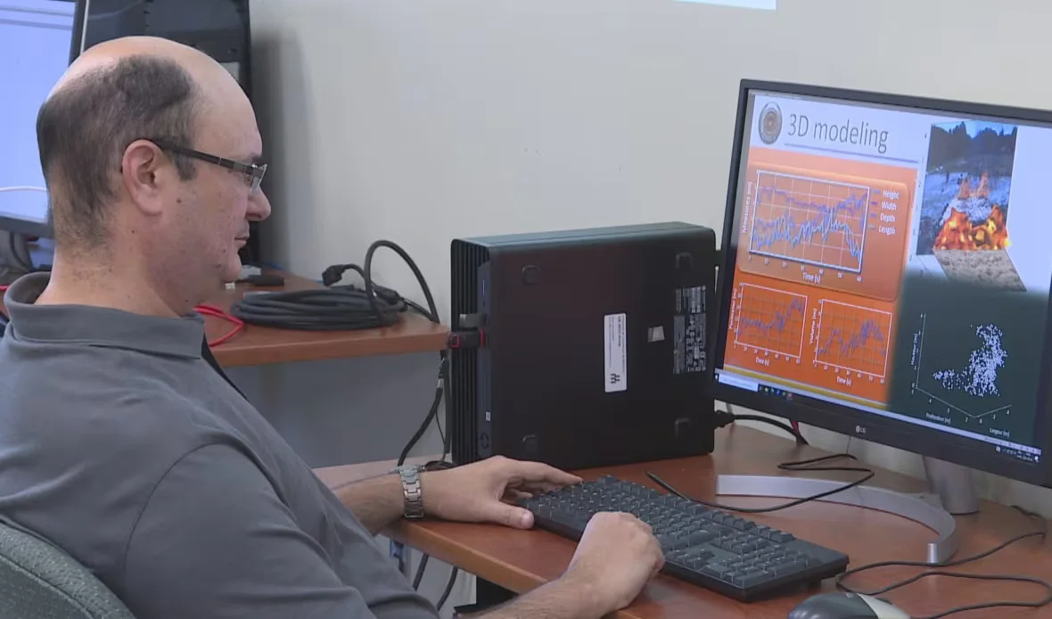
Moulay Akhloufi looks over computer modelling that predicts the spread of a wildfire based on environmental conditions. (Alexandre Silberman/CBC)
Akhloufi said they're working to build algorithms that adapt to different conditions, and with more satellites in the sky, the technology will be easier to use in Canada.
"We use the data to train the algorithms, so they are able to detect these small pixels that show that there is some smoke or some fire starting," he said.
The team of engineers is also looking at how drones could be used to battle fires from the sky.
SEE ALSO: Research underway aims to make wildfire evacuations smoother
Marc-André Blais, a student researcher, said he's working to fine-tune an algorithm to pull off a "swarm attack" on a blaze.
"So controlling thousands of drones at once is a complicated task for a human. For artificial intelligence, it's a lot more simple. So we train models and algorithms to solve that task," he said.

Marc-André Blais is a student researcher looking at how drones could be used to combat wildfires. (Alexandre Silberman/CBC)
Akhloufi said his team's fire-spread models will need more satellite data to be used in Canada. He said there's currently not enough information to make the models accurate enough to be used.
"We just have to adapt to the geography where we want to work," he said.
First wildfire satellite
The wildfire models and simulations often rely on data from hundreds of Earth-observation satellites.
A new tool for getting a view on the skies is in development. In 2029, the Canadian Space Agency plans to launch WildFireSat, the world's first purpose-built satellite for monitoring wildfires.
"Whether using drones or UAVs [unmanned aerial vehicles], or small satellites or ground-based cameras, they basically allow you to have a more hands-off approach when it comes to fire monitoring," said Morgan Crowley, a forest fire research scientist with Natural Resources Canada who is part of the team working on the mission.
"That's extremely ideal when you have so many fires all happening at the same time across the country."
RELATED: Fire crews on the lookout for zombie fires that can spring back to life
The new satellite is designed to pass over during peak burn period, which is the later afternoon. Canada currently has little aerial observation data at that time. The images and data will be in the hands of decision-makers within half an hour.
Crowley said having more precise information will allow fire management teams to prepare for the next day and "triage" different fires.
"You can't respond to every fire, nor should you, so being able to decide which ones are the most pressing, dangerous ones allows them to use their resources optimally," she said.
Climate experts say catastrophic fires are a trend that will likely continue into the future, creating a growing need for new tools for firefighters.
"We can expect more fire in the future as we continue to warm, longer fire seasons, more lightning, warmer temperatures," Flannigan said.
"Research we did 20 years ago suggested that eastern Canada would see more fires mid-century. After 2023, I'm starting to rethink that. Maybe it's coming a lot quicker than we expect."
This article was originally published for CBC News.


