Opportunity builds again for severe weather in Alberta with large hail risk
A risk of thunderstorms could put a damper on any plans in the outdoors across sections of Alberta Sunday, so stay alert and be prepared for rapidly changing conditions
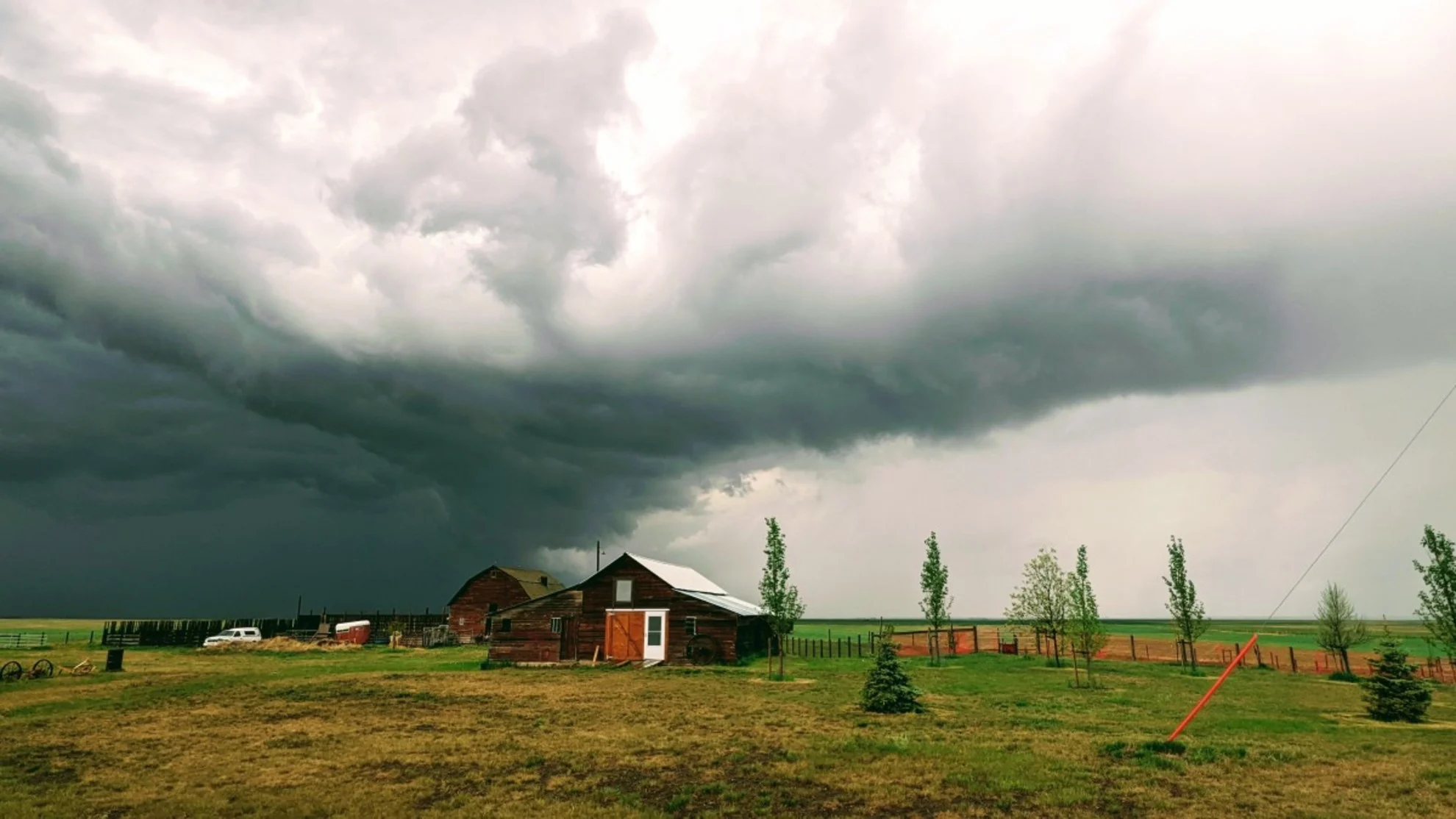
Sunday could offer a repeat of Saturday as another chance for severe weather will cover a swath of Alberta.
In addition to the threat of severe storms, including a risk of large hail and strong winds, forecasters will be keeping an eye on a cluster of heavy rain moving up from Montana into Sunday evening.
DON’T MISS: Startling video shows first moments of the south Jasper wildfire
Some computer models are teasing considerable amounts of rainfall across extreme southern section of Alberta, a region that desperately needs rainfall amid an elevated risk of wildfires.
Pay close attention to the radar as you go about your day, and stay alert for potential watches and warnings issued in your area.
Scattered thunderstorms throughout Sunday
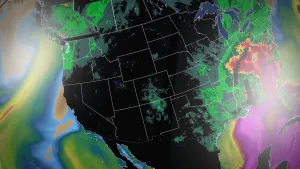
A widespread risk for thunderstorms will cover Alberta through the day Sunday. The best chance for storms will appear in the central foothills early Sunday afternoon, with cells drifting east toward the QE2 after the dinner hour.
Some of the thunderstorms near and west of Calgary, Red Deer, and Edmonton could reach severe limits. The strongest storms could produce strong wind gusts, large hail, and heavy rainfall. Stay alert for watches and warnings if you’re out and about during the day Sunday.
Forecasters are also watching the potential for heavy rain to slide into Alberta from south of the border on Sunday evening. Computer models are currently teasing some heavy rainfall totals across extreme southern sections of the province—an area that desperately needs beneficial rains.
CANADA'S WILDFIRES: Visit The Weather Network's wildfire hub to keep up with the latest on the active wildfire season across Canada
Beware the risk for additional wildfires as these thunderstorms traverse the province. Lightning can easily spark new blazes, especially in areas under high or extreme fire danger ratings.
Looking ahead, there’s high confidence that an upper-level trough will sag into Alberta through this coming week, bringing below-seasonal temperatures to some communities.
Folks across southern Alberta could see temperatures as much as five degrees below seasonal, while areas up north will contend with temperatures more in line with average for this time of year.
Additionally, this trend would bring a wetter-than-normal pattern into central and southern areas of Alberta, bringing beneficial rainfall to improve the wildfire situation across the region.
WATCH: How is wildlife faring after the wildfire?
Thumbnail courtesy of Ela Thakore.
Stay tuned to The Weather Network for the latest forecast updates in Alberta.