Hiking trails to check out near the Greater Toronto Area this fall

Meteorologist Mark Robinson shares some of his favourite trails and parks to take in the fall colours
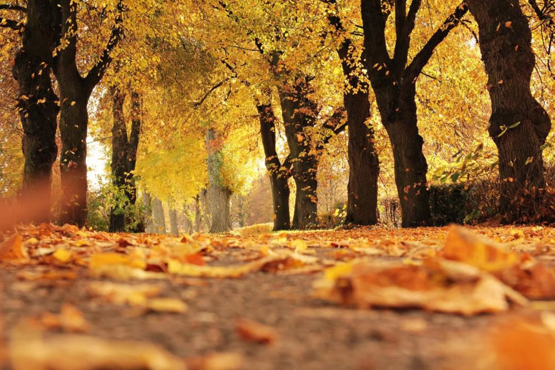
There’s something about trees in the fall in Ontario that I love. Rather than just dropping all their leaves in a giant grey pile at the base of the trunk, which would be the far lazier, but much more efficient method, they instead turn them into a rainbow of cheerful colours. Reds, oranges, yellows, even purples explode like slow motion fireworks across the forests of Ontario. It’s kind of like bees. Beautiful warnings of the unpleasantness to come (winter, not stinging. Ok, I’m stretching this metaphor a little far.)
Before winter lands on us like an angry beehive full of ice hornets, we get to enjoy the wonderful, brilliant colours of fall. These are my five favourite, 'hidden gem' trails and parks near the Greater Toronto Area (GTA).
In no particular order…
Forks of the Credit Provincial Park
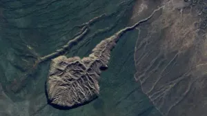
This park is located about an hour’s drive northwest from downtown Toronto, and it’s one of my favourite spots to see the fall leaves thanks to the wonderful views from atop rolling hills and down tree-lined lanes. The park was created around a fold in the Niagara Escarpment over which the Credit River flows, creating roiling rapids and waterfalls.
This park can fill up, especially as the leaves change, so check ahead to see what's available before driving out.
Limehouse Trail
This is my favourite trail for some wild geology. It’s part of the much larger Bruce Trail system, but this section goes through a series of cracks and crevasses that you can scramble through as you explore the maple-beech forests that surround the cliffs.
It’s very close to Georgetown and about an hour's drive from downtown Toronto.
This trail can be difficult to traverse in the winter and when it rains thanks to the mostly deep dirt paths and bare, potentially slippery rocks around the caves. You can bypass the crevasses and caves and explore the forests on either side. Closer to the village end of the trail lie the remains of an old lime kiln (where the village gets its name) that are fascinating to check out.
To access the trail, you can either park in the village (limited parking, and yes, you will be ticketed if you park in the wrong spot) or at the lot at the entrance to the other end of the trail. The parking lot isn’t huge, but it’s rarely occupied (this is a real hidden gem of a trail). You can head to their website for more information.
WATCH BELOW: 5 things that will make hiking better for everyone
Etobicoke Creek Trail
Having grown up in Etobicoke right on the border of Mississauga, this is trail that I know well. I used to spend many days running up and down the length of what is now a paved trail (it was dirt when I was a kid) catching snakes, riding my bike and generally falling into the creek enough to really worry my mother.
It’s a moderately popular trail that runs from just past Pearson Airport to Burnhamthorpe Rd. on the eastern side of the Etobicoke Creek. The best part of this trail is that it is now fully paved and accessible to almost everyone, even in the time of COVID. The trail is wide enough that you can easily social distance without having to step off the pavement.
The tree-lined valley walls offer spectacular views of a wide variety of species of trees with just as many colours. The creek itself ensures that there is enough habitat for animals such as deer, snakes, frogs, squirrels, and others, so keep your eyes open. I’ve found many snakes sunning themselves on the pavement during warm days in autumn.
This trail is easily accessible by car or public transit. Both the TTC and Mississauga Transit have multiple stops at either end of the trail.
WATCH BELOW: Hiking hacks that will keep you warm on the trails this fall
Rattlesnake Point
Ok, this one isn’t exactly a hidden gem, but I just had to include it thanks to the incredible views and easily accessed trails and lookout points.
Rattlesnake Point is about a 45-minute drive from downtown Toronto, but only about a 10-minute drive from Milton. It’s relatively easy to get to if you have a car, but this park can fill up very quickly and this year, reservations are needed to go, so check online for that.
Depending on the level of comfort you have with hiking, you can take a variety of trails that cater to almost every level of experience and if you’re really adventurous, there are a number of cliff climbing spots (I’ve climbed here and it’s lots of fun), but any climbing needs to be done with proper equipment and training. If you’re just after leaves and spectacular views of the Milton countryside, you won’t need any equipment, just a healthy sense of safety as not all the viewing spots have safety walls.
This is part of the Bruce Trail, so be careful how far you walk, the trail doesn’t end until you get to either Tobermory or Niagara.
The Rouge National Urban Park
For those of you in the east end of Toronto, don’t worry; I haven’t forgotten you. In fact, you’ve got one of the most amazing trail systems in the GTA, the Rouge Urban Park. This is a series of interconnected paths that run all along the Rouge Valley, running from Markham all the way down to Lake Ontario. If you’ve ever been to the Toronto Zoo, you’ve seen the park on the eastern side of the road. This is a well-maintained park due to its designation as an urban park and its proximity to the GTA. It even has its own app you can download (and given the complexity of the trail system, it’s a good idea to have if you want to explore).
The park offers trails that run along ridges above the river as well as trails that run beside the water, so you can choose what interests you most. I prefer the ridge trails, as you can get some spectacular views of the changing leaves from both close up and across the valley. You can easily access the trail via the TTC or a car.
RELATED: Basic rules of hiking etiquette can help you stay safe
Remember, when you go hiking, always be prepared, especially in the fall, as weather can change quickly. So, bring extra water, warm jackets, sunscreen, a cell phone, and, as always, a camera. Some of these trails can be difficult and won’t always have many people around to help out if you run into trouble. The good thing is that all of them have decent cell service, so you’ll be able to either call for help or post to Instagram depending on your predilections.
So, take advantage of the fall and get out there! Remember, winter is coming like a hurtling beehive full of ice hornets, so I can’t wait to see your pics, and I’d love to know all about your own hidden gem trails. Tweet me @StormhunterTWN and use #ShareYourWeather.
What is forest bathing and why should I try it?
Thumbnail photo courtesy: Pixabay