
U.S. concerns grow over soon-to-be Helene as it eyes Florida Panhandle
A major hurricane, soon-to-be-named Helene, is forecast to make landfall in Florida in a short 72 hours –– the first such occurrence this year
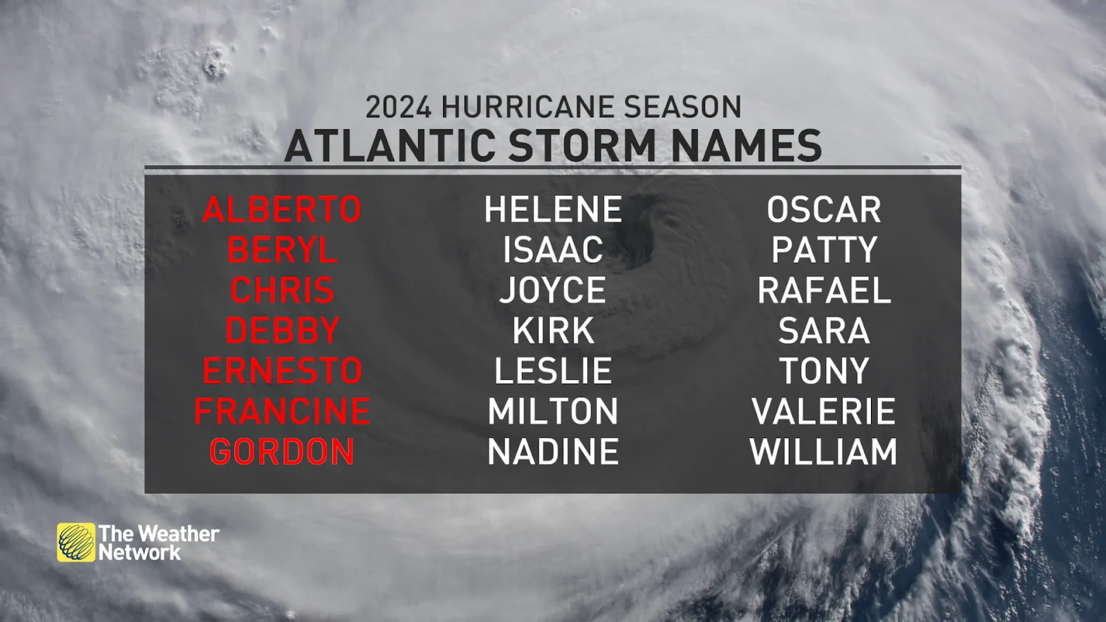
What will be known as Tropical Storm Helene is likely to come to fruition in the next 24 hours in the Caribbean and will become a hurricane after that, then likely reaching major status before a U.S. landfall.
The biggest impacts are likely for the Florida Panhandle as early as Thursday, so residents are being urged to prepare now. A tropical storm watch has been issued for the Lower Florida Keys and Dry Tortugas, while hurricane watches are in place for parts of Mexico and Cuba.
DON’T MISS: La Niña could affect the second half of Atlantic hurricane season

Millions of coastal residents in Florida's Panhandle and west coast should prepare now as a soon-to-be-named storm quickly approaches this week, and will likely rapidly intensify into a major hurricane shortly after.
Tropical storm warnings and hurricane watches already in effect
Gradual development of this system is occurring, with significant strengthening expected soon, and a tropical storm is likely to form on Tuesday as the system moves slowly northward across the northwestern Caribbean Sea and Gulf of Mexico through the end of this week.

The U.S. National Hurricane Center (NHC) gives the system a 90 per cent chance of growing into a tropical storm in the next 48 hours.
Helene is forecast to become a hurricane by Wednesday morning. Rapid intensification of the storm is forecast as it will go from a disorganized disturbance into a potentially major hurricane in a short 72 hours.
Reasons for this are many, and include: A spectacularly perfect track will curve the storm in between Mexico and Cuba. That will allow the storm to continue growing its eye, without disruption to land. The track also takes the storm over the loop current, which funnels in very warm water northward into the Gulf of Mexico where the warmest waters are. The last reason is due to the minimal wind shear present.

Landfall is expected along the Florida Panhandle, anywhere from Tampa to Tallahassee, Fla. Residences should prepare quickly for impacts. There will be higher residential impacts if the track shifts east towards Tampa. Current trajectory to Florida’s Big Bend region is in a much lower population so there should be a lower cost of damages.
This storm will be fast-moving, with a landfall expected on Thursday.
It’s safe to say that the entire Gulf Coast from Mississippi to Florida should keep a close eye on the forecasts over the coming days, as a landfall is looking more likely to be Thursday. Heavy rain will accompany this system regardless of its future strength.

Total rain accumulations of 100 to 200 mm are forecast over western Cuba and the Cayman Islands, with isolated totals possibly reaching 300 mm. Over the eastern Yucatan Peninsula, 50 to 100 mm rain is expected with isolated totals over 150 mm.
Over the southeastern U.S., the storm is expected to produce total rain accumulations of 75 to 150 mm of rainfall, isolated totals of 250 mm, bringing a risk of flooding, of which some could be considerable.
"This rainfall brings a risk of flash and urban flooding and minor river flooding," the NHC warns.
Heavy rainfall will spread into the Southeast U.S. on Wednesday, and continue through Friday, with a risk for flash flooding. Dangerous storm surge, and strong winds are also expected for portions of the northeastern Gulf Coast, including the Florida Panhandle and sections of Florida's west coast.
Residents are being strongly urged to have a hurricane plan in place.
High pressure over Ontario will spare Canadians of impacts this weekend once again.
WATCH: How two decades of science has shrunk the hurricane cone
The peak of hurricane season has passed, but no time to let our guard down, yet
The peak of hurricane season occurred on Sept. 10, but we're in the thick of the season through the middle of October, a period during which some of history’s most intense hurricanes have thrived and roared ashore.
It’s been an unusually and surprisingly quiet hurricane season across the Atlantic Ocean so far this year. Extremely warm sea surface temperatures and a budding La Niña led forecasters to expect a hyperactive season—the opposite has happened so far, with relatively few storms developing over the steamy ocean so far this year.
MUST SEE: Hurricane remnants can bring dangerous weather deep into Canada
Despite the unexpected lull in activity this season, we could still see dangerous storms develop over the coming days and weeks. Coastal residents should closely monitor forecasts and have emergency preparedness kits ready to go long before a storm ever threatens land.
Other disturbances out in the open ocean
Forecasters are monitoring another area of disturbed weather off the coast of Africa for signs of potential development over the next seven days, with a 70 per cent chance of formation.