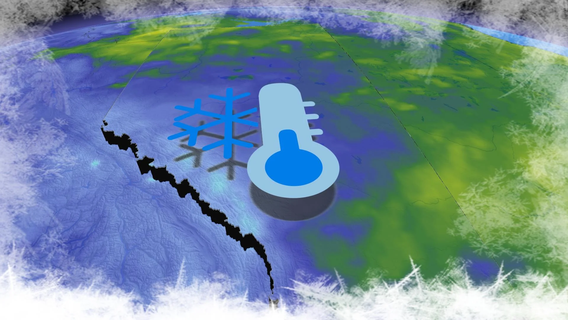
B.C. and Alberta see record-breaking temperatures amid historic deep freeze
Extreme cold and Arctic outflow warnings spanned the majority of British Columbia and Alberta over the weekend
A rare cold spell, occurring once in a generation, has gripped various regions of British Columbia and Alberta.
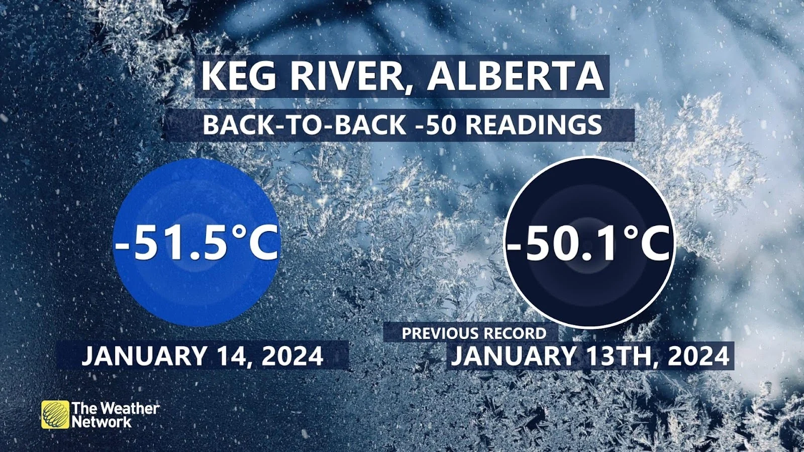
In Alberta, temperatures revisited levels last witnessed a generation ago on Sunday morning. Keg River experienced a record low of -51.5°C, marking Canada's second -50°C reading this season and Alberta's third in two decades. The first -50°C reading in the province for this period was -52.0°C in Worsley in 2004.
DON'T MISS: If it's too cold for you to be outside, it's too cold for your pets
On Friday night, Edmonton registered a bone-chilling temperature of -45.8°C, just a tenth of a degree milder than Thursday night. This marked the fourth coldest night on record at the airport (1960-2024), and the last time such extreme cold was experienced was on December 13th, 2009, with a low of -46.1°C.
As Saturday night approached, forecasters had their eyes on the potential for Edmonton to plummet to its all-time lowest temperature, either for the city or the airport station. The existing record dates back to January 19th, 1886, at -49.4°C.
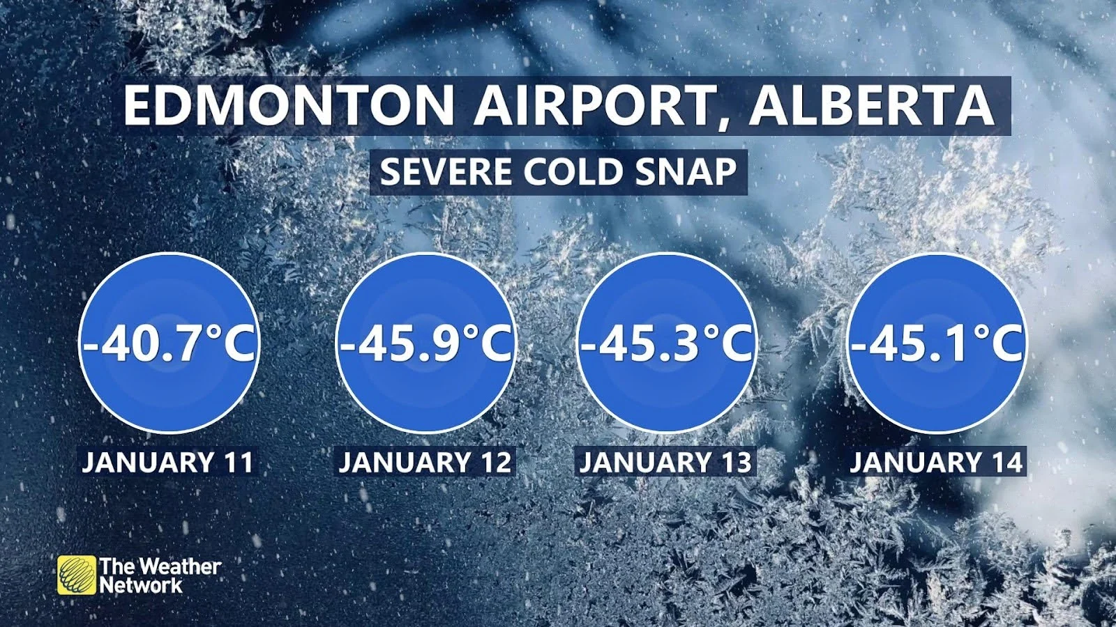
Not only were nighttime temperatures plummeting, but daytime highs were also very frigid, with Edmonton hitting a meagre -34.4°C on Friday, setting a new record for the coldest day at Edmonton International Airport.
The relentless severe cold persisted in Calgary, as Friday saw a high of only -30.4°C, marking Calgary's coldest day since February 1st, 1989 (-31.9°C).
SEE ALSO: What is wind chill and why does it 'feel' so miserable?
Brutal conditions for British Columbia
On Thursday a harsh outflow surged towards the coast of British Columbia, causing traffic disruptions with intermittent snow bursts along the arctic front.
RELATED: How to prevent a pipe burst in your home as temperatures plummet
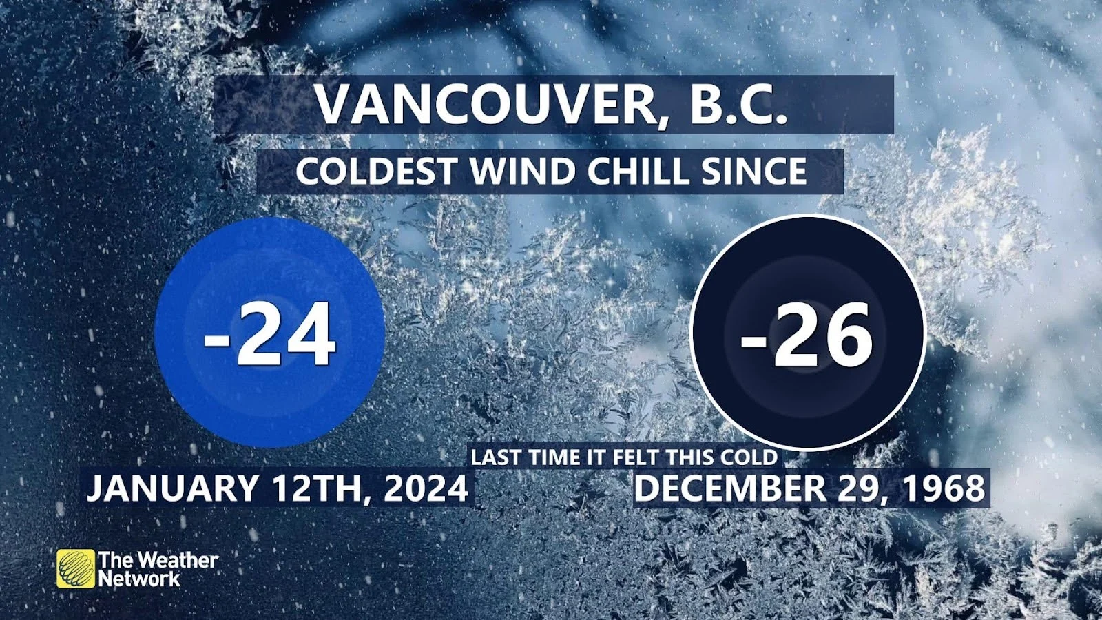
The temperatures that lingered in the aftermath dropped to levels that haven't been experienced in decades. Wind chill readings at YVR airport Friday hit -24, a feat not reached since December 29th, 1968.
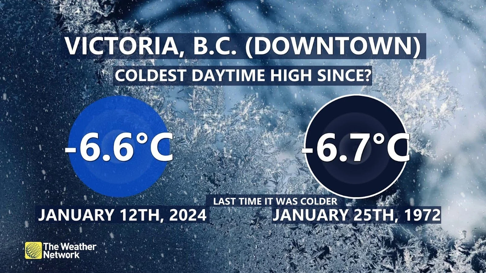
Cold descended upon Greater Victoria, resulting in an exceptionally uncommon daytime high of -6.6°C. This marked the coldest day in over 50 years.
The temperatures in the interior were also truly exceptional and reached dangerous levels. Sparwood, nestled in extreme southeast B.C. dipped to -40.3, the coldest temperature ever recorded at that station since its inception in 1980.
The Penticton weather station fell to -27.6°C, breaking an all-time cold temperature record, with station data stretching back to 1907.
Major warmup in sight
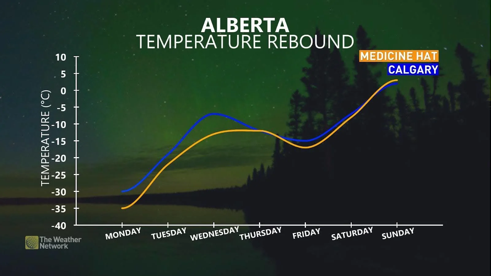
Temperatures are forecast to warm by nearly 40 degrees over the next week, pushing Western Canada out of this brutal deep freeze.
Stay with The Weather Network for more forecast information and updates for your weather across Alberta and British Columbia


