Summer snow vs. Hudson Bay heat, Canada's weekend weather revealed
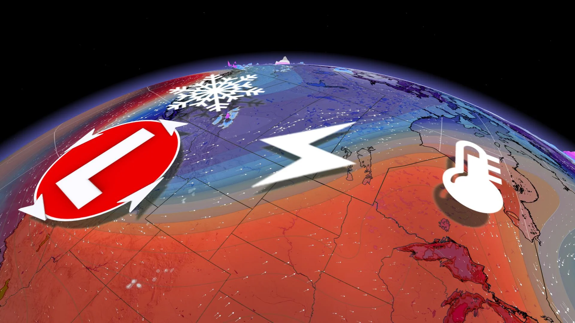
High-elevation snow in the Rockies will make for a sharp contrast between that region and normally-frigid Hudson Bay, which is set to swelter in temperatures well past the 30-degree mark this weekend.
On one side of the country, snowflakes.
Thousands of kilometres east, a formidable heat event unfolds across Hudson Bay.
And in-between? The Canadian Prairies are caught in the cross-hairs of the duelling air masses.
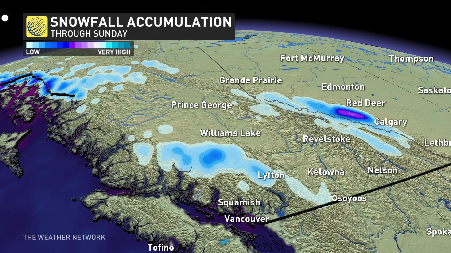
The upper-level air mass looks to be substantially below seasonal by Saturday. The temperature aloft is forecast to fall close to -25°C across the Pacific Northwest – an average temperature during the winter months.
It's not record-breaking, but it's enough to create the threat of high elevation snowfall and stir up isolated thunderstorms.
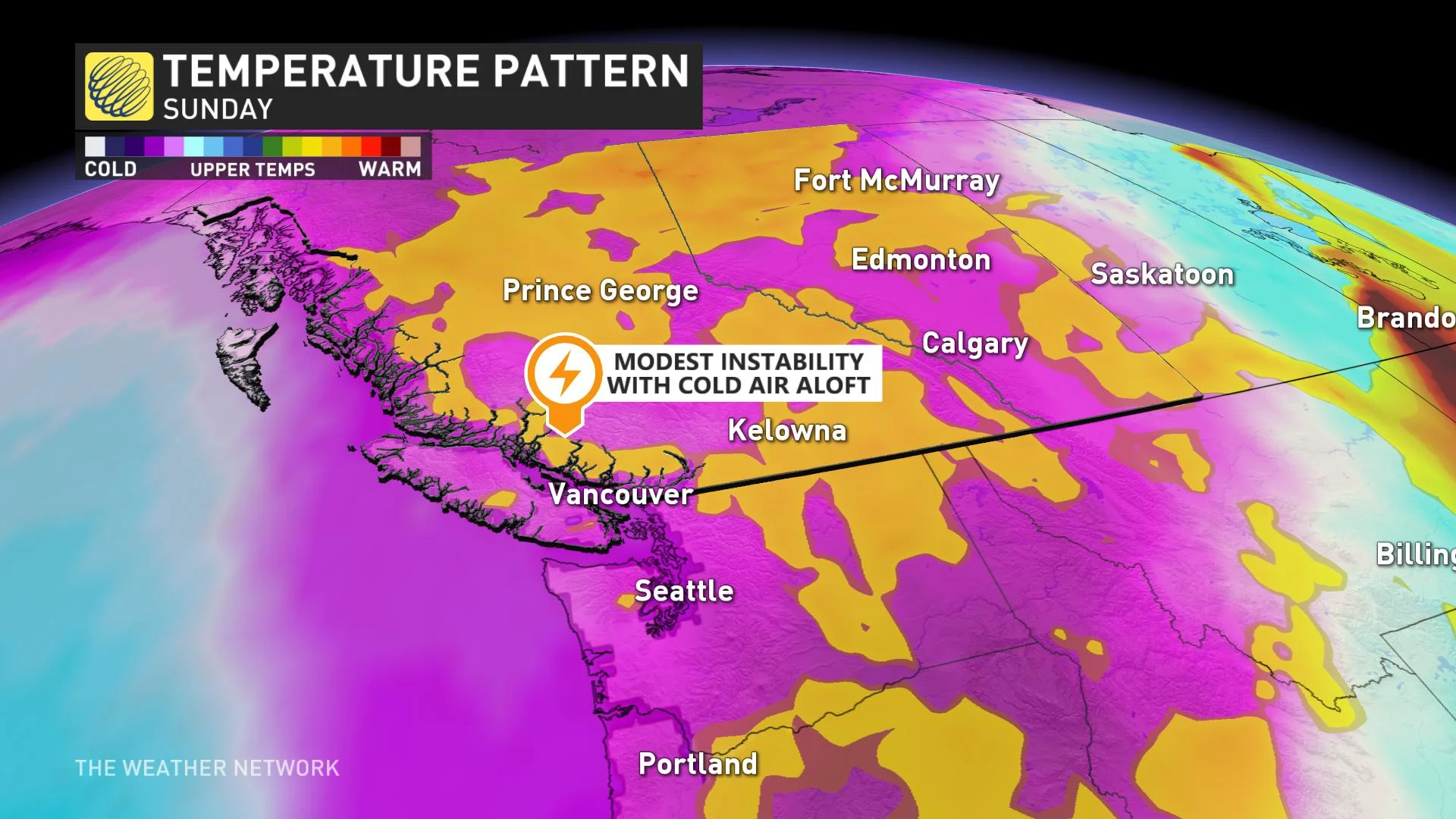
Now, most people are extremely unlikely to see snowflakes, so take a peek at some of the high elevation traveller or resort webcams this weekend to catch a glimpse of the summer snow. Whistler or Banff National Park might be a good place to start.
READY TO RUMBLE?
Sometimes, when the air mass is this chilly in the summer, it can destabilize the atmosphere and initiate thunderstorm activity, especially over the rugged B.C. terrain.
The upper trough will readily swing into eastern Oregon and Idaho, creating an extreme anomaly in the atmosphere. But looking over at Hudson Bay, a 99.5 per cent climatological anomaly is set to build heat into the Arctic.

HUDSON BAY HEAT WAVE?
Earlier in June, areas near Hudson Bay faced 12 consecutive days of below-freezing temperatures. Now the region is set to bake.
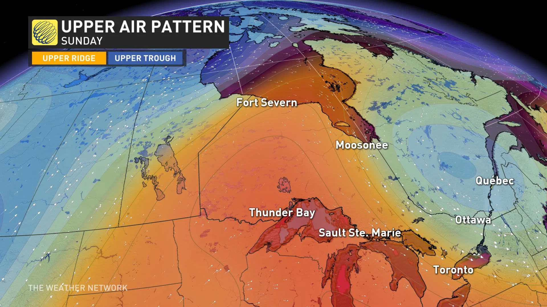
Let's take a look at Fort Severn, Ont., one of the most northern climate stations in Ontario. Environment Canada has been keeping track of temperatures here since 2006.
Fort Severn: Normal high, 17°C
Notable Historic Temperatures:
June 13th, 2007 - 34.1°C July 24th, 2007 - 35.1°C June 29th, 2014 - 34.7°C
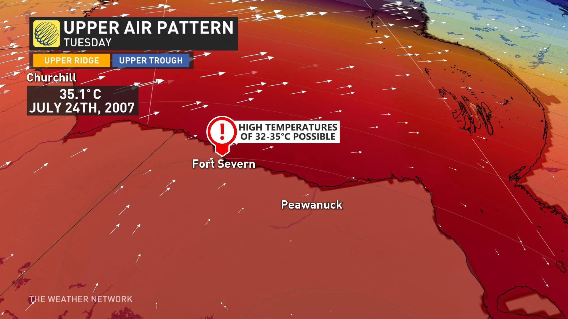
Computer models still disagree on this timeframe, but most show a pocket of temperatures pushing close to the mid-30s across far northern Ontario. Some of the highest temperature records in recent memory might be challenged, but it'll depend on how far north the warm air mass migrates over Hudson Bay; consequently, creating a warm, descending wind down the Canadian Shield.
The Prairie provinces are caught between the contrasting air masses, providing sharp temperature gradients and persistent threats of thunderstorm activity into next week.


