Snow risk grows after Canada records first -10C of the season
A brief dose of Arctic air brought Canada its chilliest temperature so far this season—with snow following not far behind
The seasons are changing in a hurry and the signs are swirling all around us.
A small community in far Northern Canada just notched the country's first -10°C morning on Wednesday. This chill is swooping south, where it will briefly bring some major cities air cold enough to see your breath. Some areas may even see some accumulating snow out of the deal.
DON'T MISS: Three reasons why you could see an early-fall snow in Canada

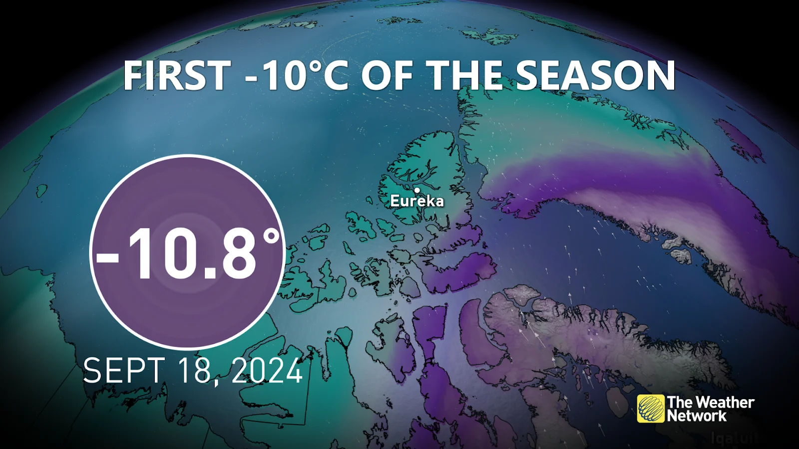
Eureka, Nunavut, was the proud recipient of the season’s first morning temperature to fall into the double-digits below zero.
The community recorded a morning low of -10.8°C on Wednesday, September 18. Folks here typically see a -10°C reading around September 14, so Wednesday morning’s low isn’t too far off normal.
All that cold air is plunging south—along with a risk for snow in some areas.
Most Canadians have a while before such cold air arrives
But first, when can cities across the country expect their first -10°C temperature of the season? History holds some positive news if you’re not a fan of subzero temperatures.

The western half of the country experiences the deep freeze much sooner than folks back east. The first minus double-digit of the season occurs in October for much of the Prairies. Frosty temperatures tend to hold off until December for folks across southern Ontario, southern Quebec, and the Atlantic provinces.
Snow risk with a Prairie clipper
We’ll watch a clipper move across the Prairies to end the week, followed by a harsh but brief dose of cold air filtering into parts of the region.
Widespread rain will fall across Alberta as the clipper treks over the province, with some embedded rumbles of thunder possible at times.

MUST SEE: Earth will soon pick up a new 'mini-moon' but it won't be here for long
Temperatures will be cold enough for snow to fall in the Rockies as the freezing level falls below 1800 m through Friday morning. It’s not going to be a blockbuster snowfall by any means, but it could be enough to whiten the ground with a few centimetres of accumulation at higher elevations.
Wind gusts could exceed 60 km/h as the cold air rushes in behind the clipper system.
Brief burst of cold before a steady warmup
Friday is going to be a raw, chilly day across much of Alberta as this Arctic air slips south.

Calgary is looking at its coldest day of the season with a daytime high of just 10°C with a morning low hovering just above the freezing mark.
The chill won’t last very long, though. A ridge building into Western Canada will steadily raise temperatures through the remainder of the weekend and heading into next week. Daytime highs will return to the lower 20s by the middle of next week.


