Wanted: Several 'gentle' storms for B.C.

A pattern change in B.C. threatens a one-two punch after an exceptionally dry summer across the region. How the rain falls will be crucial in the months ahead.
This summer has been exceptionally dry for British Columbia, leaving the land parched and rivers and creeks drying up. The rains will return with a pattern change ahead, but how the rain falls -- especially with the initial storms -- could dictate whether this will be much needed relief or another flood in the offing.
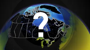
First look: Pattern reversal expected as Canada falls into winter
Imagine: Your city or town has been suffering a prolonged drought and rain is finally in the forecast. Can there be anything bad with this scenario? Well, that depends on the severity of the drought, and the intensity of the coming rains -- and it isn’t only a matter of how much rain will fall, but how the rain will fall.
Canada’s West Coast, particularly the southern regions, have been undergoing especially parched conditions dating back to early July.

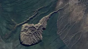
From brown lawns and stressed trees, to an extended wildfire season and riverbeds drying up, devastating the salmon run – the arrival of the annual fall rain has been delayed. Furthermore, temperatures have been consistently several degrees above normal, even record breaking, compounding the impacts of the dry weather.
But the long delayed pattern change to the weather is in sight. Is this good news? For the most part, yes, but there is a “but.” Parched ground is like concrete and is far less able to absorb water than soil that is a bit damp. Watch how rain either pools or runs-off on the street, while getting absorbed by your lawn.
WATCH: Piles of dead salmon result from drought conditions in B.C.
FORECAST: From drought to deluge, B.C. pattern change brings unique hazards
How the rain actually falls is crucial
Let’s give a couple of hypothetical, but very plausible scenarios.
In our hypothetical scenario, 100 mm (4 inches) of rain is in the forecast. That’s the “how much” part of the equation, the real kicker though, is “how” that rain falls.
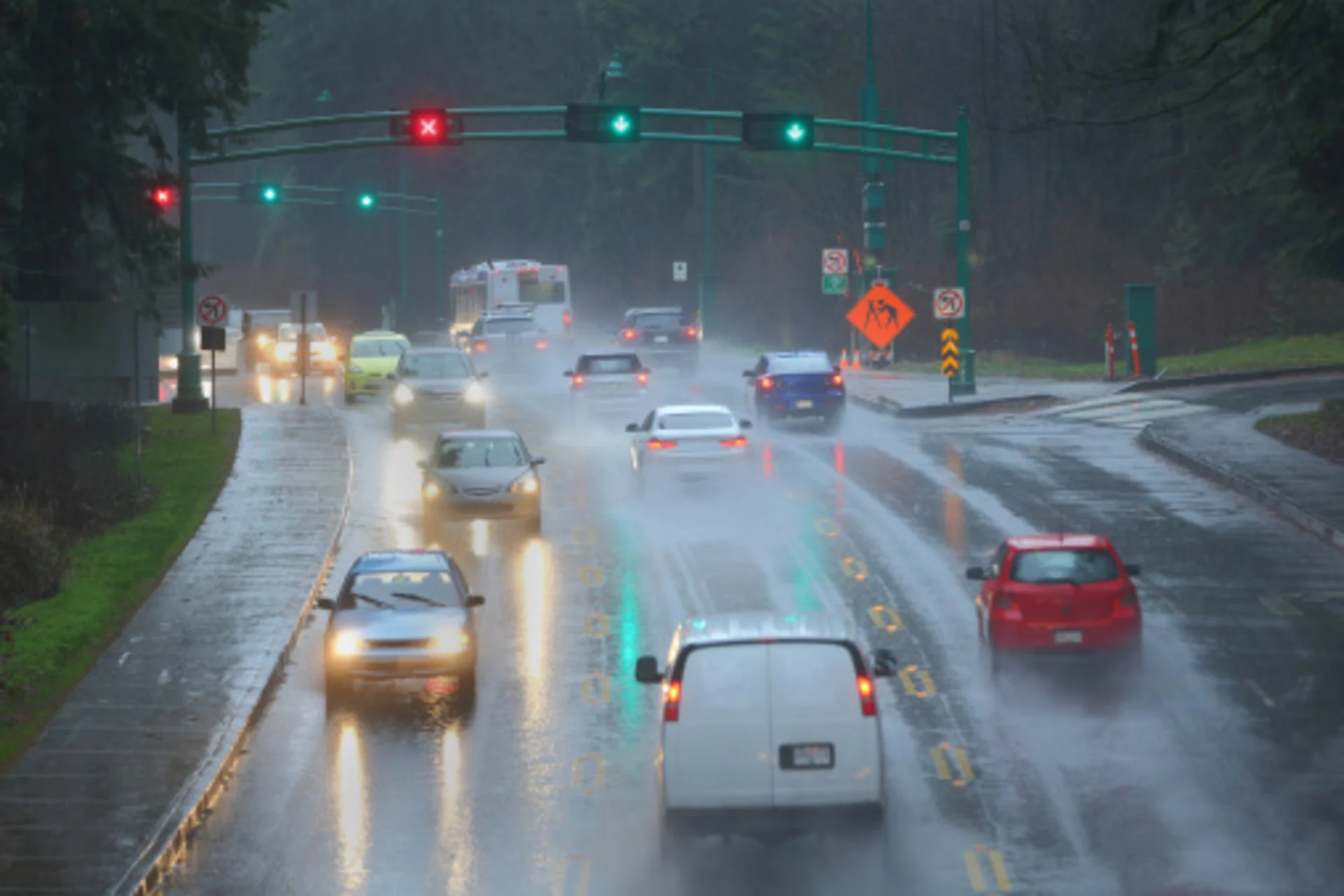
Scenario A: 100 mm of rain will fall in less than one day and at times at rates near 15-25 mm per hour. At that intensity, the rain will fall too fast for the dry ground to absorb and significant run-off will occur. This will be especially acute in urban areas where the natural landscape has been altered the most by human development. A flash flood is a near certainty. Downpours of this nature also turn babbling brooks into raging rivers and the resulting consequences thereof.
Watch: Scenario A and B for how the rain falls with a drought
Scenario B: 100 mm of rain is expected, but over the course of a week, with multiple rounds of rain separated by lengthy dry periods. This is a far more desirable scenario, especially if the initial onset of the rains are light to moderate, such as rates of 2-5 mm per hour. This would allow the ground time to become damp, to offset this impermeable barrier, thus increasing the ability of the soil to absorb further rainfall. The rivers will also be able to handle this more manageable soaking. An added bonus, this is the type of rain needed to quell forest fires.
As we know all too well in B.C., storms travel in packs. The wettest months of the year are October to March. How the rain falls, especially in those initial storms when the ground is at its driest, but also throughout the rainy season, could spell the difference between beneficial and costly impacts for the region.

Thumbnail image courtesy: Getty Images