Scorching July heat, first 40°C day makes its way to Canada
After a chilly end to June and start to July, folks across parts of Canada will finally be feeling the summer heat; we could even see a new hotspot emerge
The start of summer in Canada has been a slow one this year. June ended on a chilly note across the country, except for in the North, surprisingly. In addition to the rain that has been plaguing the Prairies as of late, this summer seems to be underperforming so far.
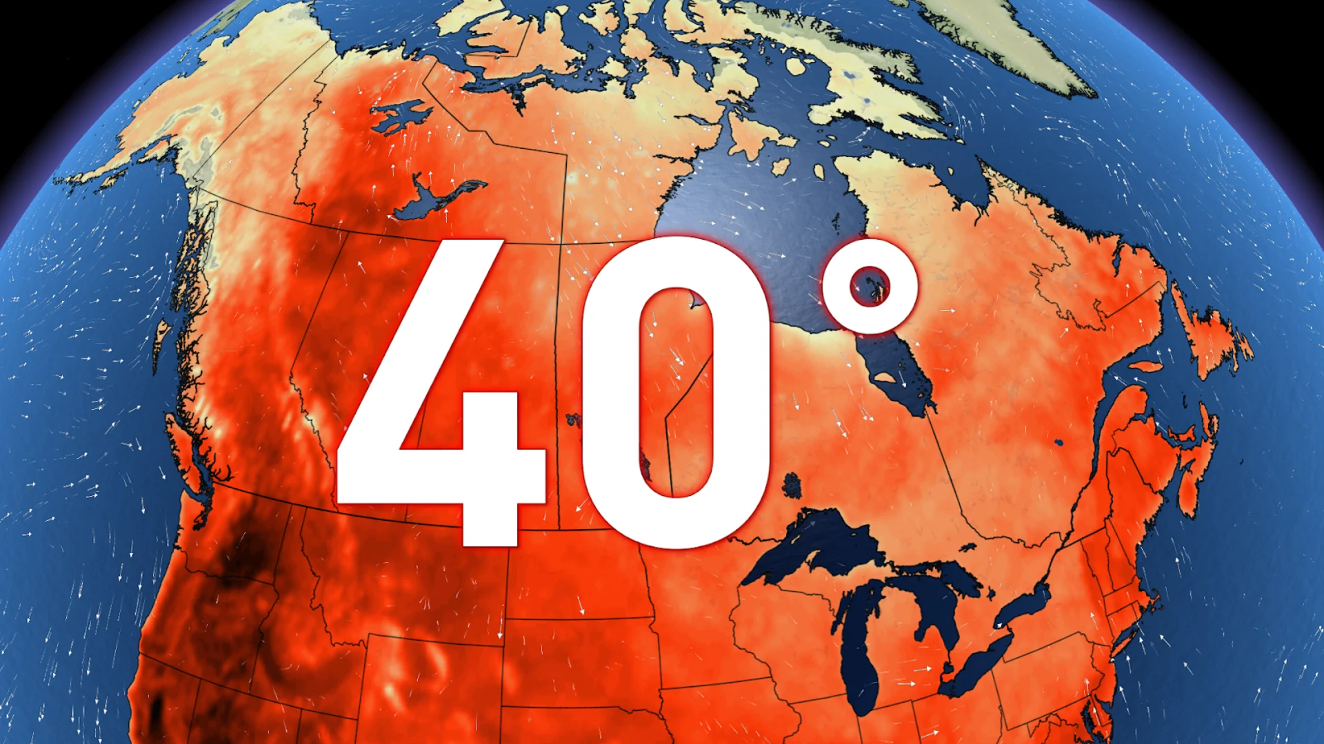
Last summer, we saw our first 40°C reading on August 14 in Lytton, B.C., and as we begin the month of July, Canadians have yet to see a day where the thermometer has reached such a level.
Despite the abnormally high temperatures up North lately, Canada's hotspot for 2024 thus far has actually been Bathurst, N.B. Here, temperatures rose to 37.6 °C on June 19—a feat that also happened to break the record for their all-time high temperature.

DON'T MISS: Will Death Valley flirt with a world record next week? It's on the table
Typically, Canada's hotspots are in British Columbia's Interior, in cities such as Osoyoos, Lytton, Lillooet, and Kamloops. Out of these four locations, the hottest temperature so far this summer has been 33.9°C, recorded on June 21 in Lytton.
Unfortunately, the extreme heat won't stay away from the West for much longer, as we could be seeing our first 40°C day as soon as Monday. This is largely thanks to an upper-level ridge in the atmosphere—which causes hot and dry conditions—parking over the United States and creating a heat dome.

RELATED: Heat waves can damage organs, new study suggests
Canada is getting the northern edge of this heat dome, which means the closer you are to the border, the warmer it will be. And when 90 per cent of Canadians live within 160 km of the U.S. border, it's safe to say we'll be feeling some of it.
WATCH: Heat stress 'biomarkers' could be in our blood
From a below-seasonal start to summer to feeling the heat
The extreme heat has already been building in B.C. over the past week; it will peak first over the Coast late in the weekend before shifting towards the Interior through next week. It isn't necessarily the temperature itself that makes this qualify as an extreme heat event, but rather the duration.

The hot temperatures will linger across the Interior for four to five days, with temperatures expected to hover around the 40°C mark from Monday through Thursday next week in Osoyoos.
SEE ALSO: Staying hydrated on a hot day is a lot more important than you think

Temperatures will begin to climb across the Prairies through the weekend and into next week, with the peak of the heat being around mid-week. Folks across the southern Prairies could see their thermometers reaching the mid-30s.
Heat safety
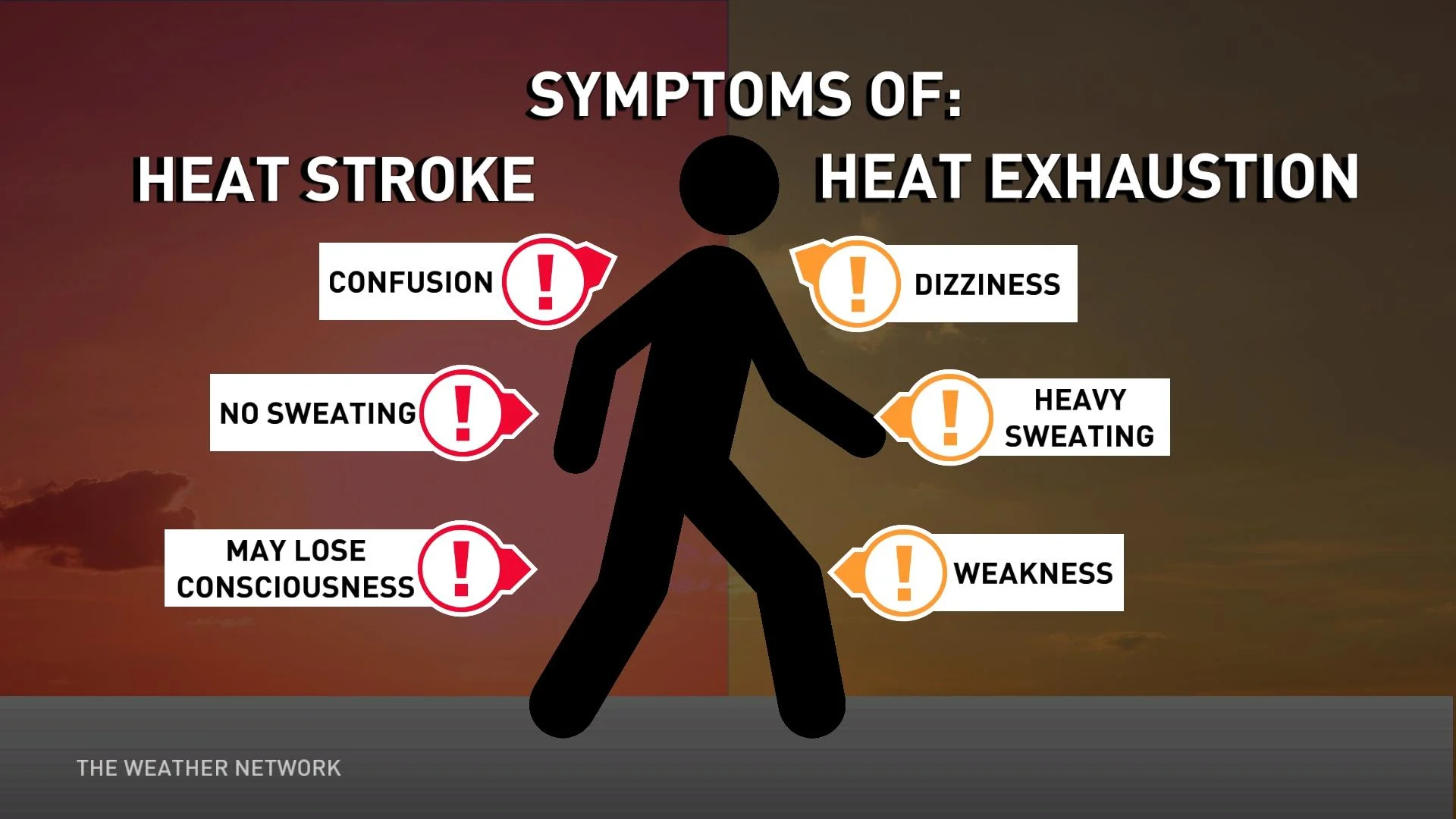
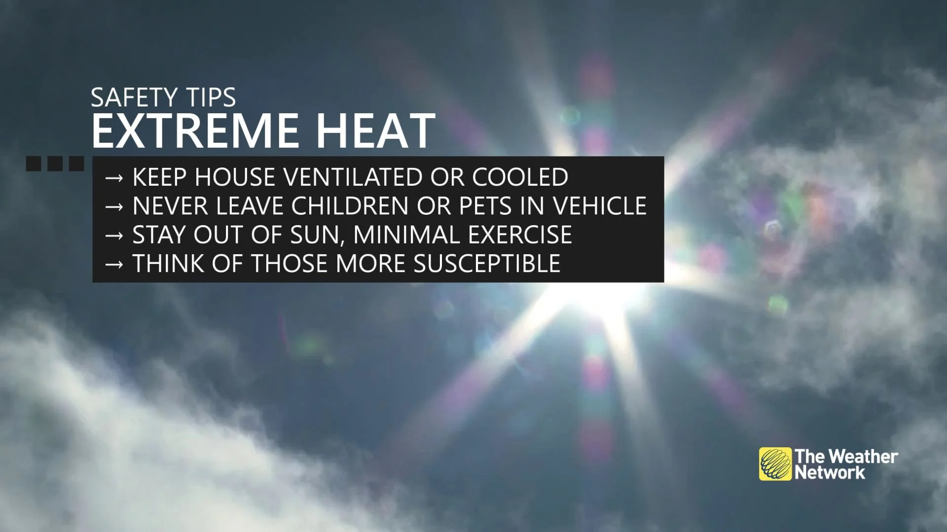
In prolonged heat events such as this, it is crucial to remember to drink plenty of water, avoid strenuous outdoor activity, and check in on those who are at the highest risk of developing heat-related illnesses.

On average, five million people die around the world each year due to extreme heat events. There has also been proof that stress from the extreme heat can cause damage to your brain, liver, and gut functions.
The Canadian Red Cross also recommends taking frequent breaks while working outside, wearing a hat while outdoors, and avoiding drinking caffeine and alcohol as they can cause dehydration.

Stay with The Weather Network for more forecast information and updates on your weather across Canada.


