Rising potential for severe storms in Alberta as heat, humidity builds
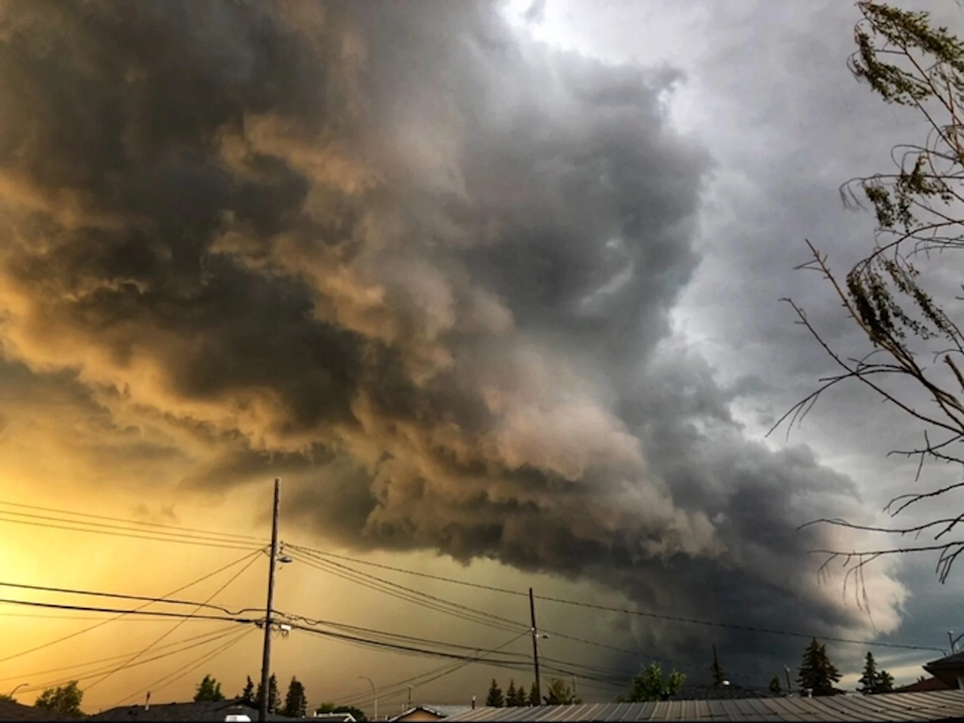
Hot temperatures and a muggy air mass in Alberta will fuel a risk for thunderstorms on Wednesday, potentially severe in some locales.
Folks in Alberta will need to be on the lookout for thunderstorms on Wednesday, especially if they are planning on being outdoors.
With a continued bout of heat, a muggy air mass that will push humidex values well into the 30s, becoming a fuel for a severe thunderstorm threat on Wednesday and Thursday.
DON'T MISS: 10 ways The Weather Network app can help you plan for summer weather

People using misting stations at the Calgary Stampede to help cool down. (Connor O'Donovan/The Weather Network)
The risk pops up as heat warnings continue to cover much of Alberta, with Environment and Climate Change Canada advising folks to take precautions to protect themselves, their families and their neighbours.
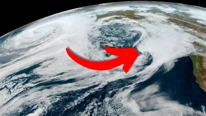
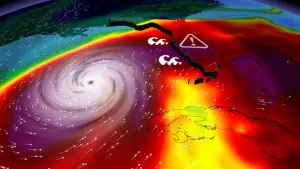
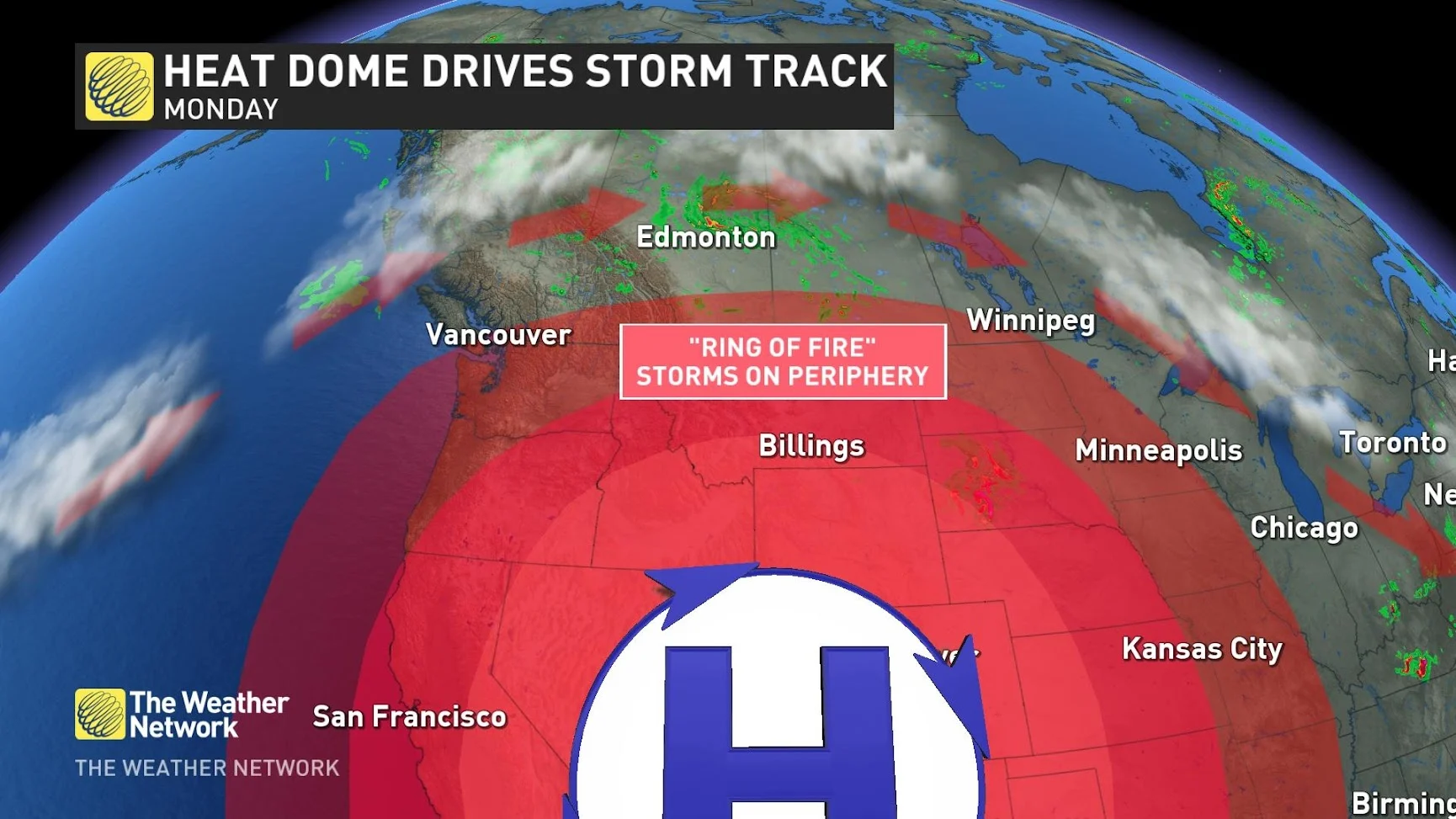
The storm risk is part of a "ring of fire" setup, a meteorological term that refers to the path that storms take around the outer periphery of a high-pressure centre or heat dome. Because of the excessive heat generated and radiated by the heat dome, storms along its boundary can be quite severe, as they tap into the extreme heat.
Ring of fire explainer (The Weather Network)
Storm threat creeps in on Wednesday, risk of very large hail
Wednesday will see widespread, 30-degree daytime highs. That's after several communities broke new daytime high temperature records to start the week on Monday.

Temperatures will be 10-13°C above normal across most of the province of Alberta on Wednesday.
Through Wednesday, dew points will approach the upper teens across central Alberta, making the air mass uncharacteristically muggy with humidex values tipping into the upper 30s.
RELATED: What is 'humidex' and how does it impact our bodies?
Temperatures will reach their highest of the year so far, with places like Clagary reaching 34°C and Edmonton expected to reach 35°C. If Edmonton reaches 35°C, that would put it in the top 10 warmest days on record, going back to 1880.

To put it into perspective, the second-warmest temperature on record occurred in 2021 during the heat dome, when Edmonton reached 37°C.
There is high confidence that the heat continues through Wednesday, ahead a cold front that is in question for Thursday.
Thunderstorms will reappear in forecast for Alberta on Wednesday as the "ring of fire," the northern edge of the heat dome, will set up in the area.

Storms from Calgary to Edmonton will be quite isolated as it will be hard for storms to develop with the extreme heat, but farther north, a cold front will spark many storms, some even with very large hail (tennis ball-sized).
By Thursday, that trough will push towards the Saskatchewan border and bring the storm risk eastward as it moves.

Heat safety
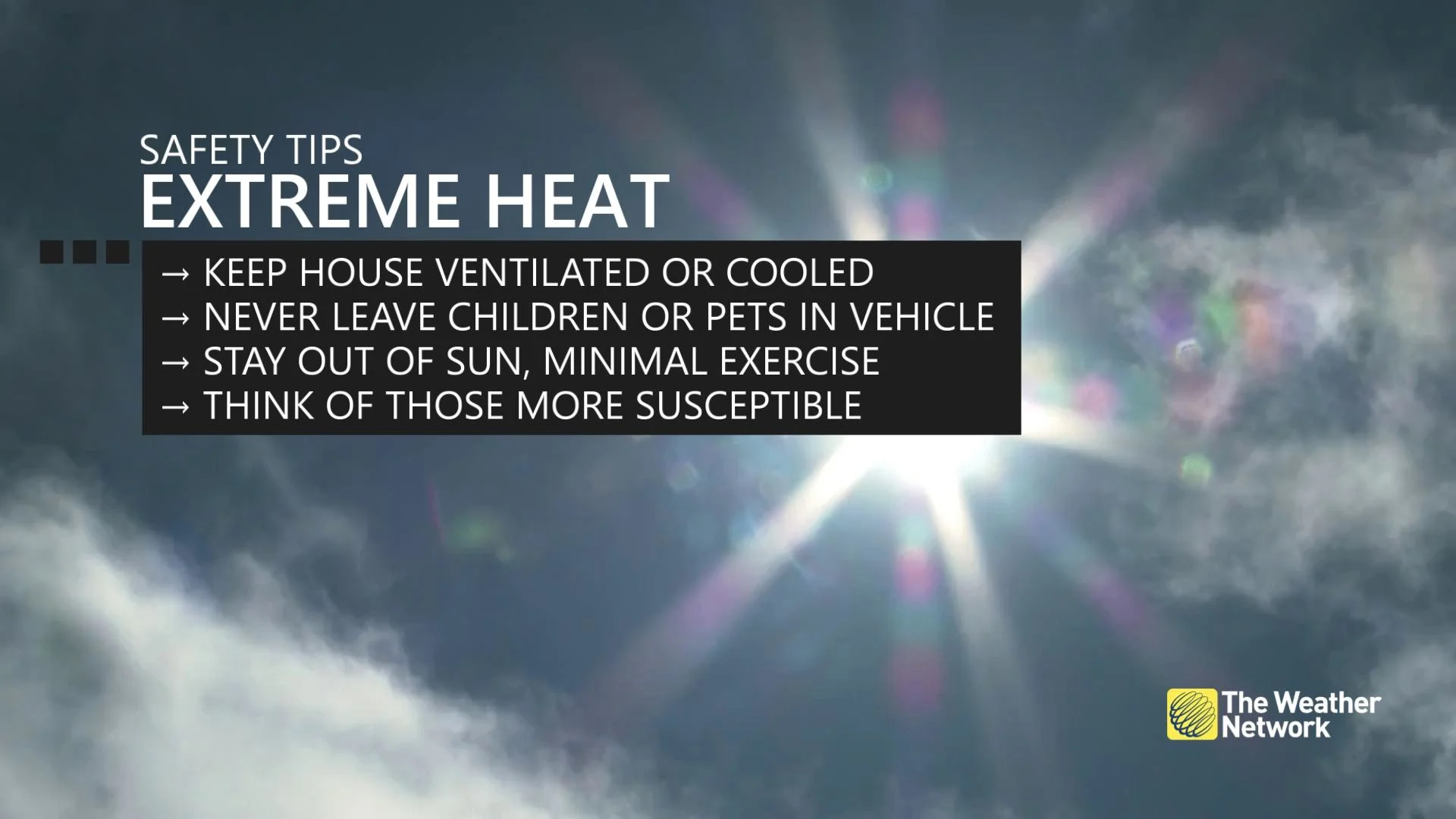
The Canadian Red Cross also recommends taking frequent breaks while working outside, wearing a hat while outdoors, and avoiding drinking caffeine and alcohol as they can cause dehydration.
Consider rescheduling outdoor activities to cooler hours of the day.
Spend time in cooled indoor spaces where possible.
Check for your children or pets before you exit your vehicle. Do not leave any person or pet inside a closed vehicle, for any length of time.
Monitor for symptoms of heat stroke or heat exhaustion, such as high body temperature, lack of sweat, confusion, fainting, and unconsciousness.
Thumbnail courtesy of Deborah Giorgi.
WATCH: Stampede under heat warning as temperatures soar
Thumbnail courtesy of Kyle Brittain
Stay tuned to The Weather Network for the latest forecast updates for Alberta.