Rain totals add up on the Prairies with severe storm risk moving east
Parts of the Prairies will see more stormy weather on Thursday, with a potential for tornadoes included in northwestern Ontario
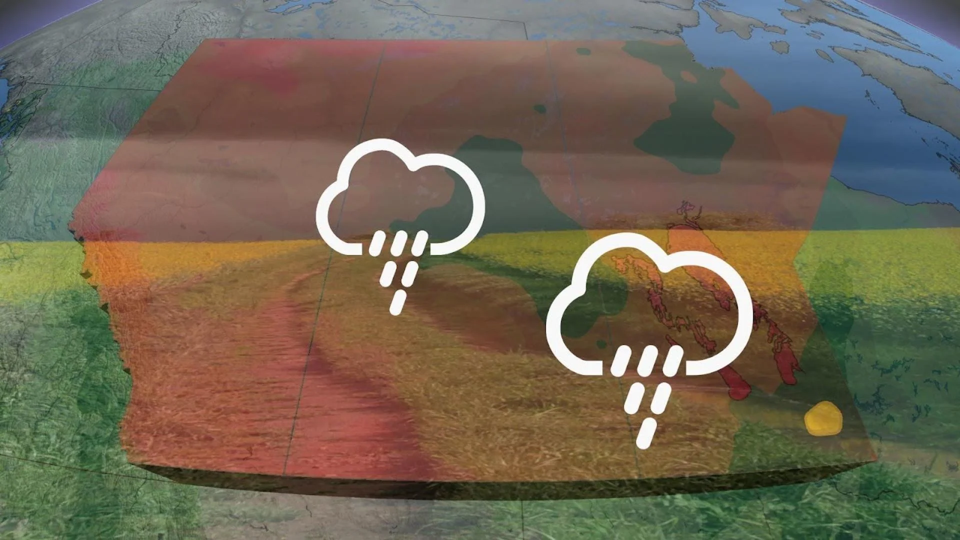
It's been an eventful week on the Prairies.
A strengthening low has brought heavy rainfall, gusty winds, severe storms and even tornado warnings as the week progressed. The hardest-hit areas of Saskatchewan are in line for significant rainfall totals, with some locales potentially on the hook for 50-100 mm by the time the system departs later on Thursday.
SEE ALSO: Don’t fall victim to these seven dangerous tornado myths
Some Prairie communities have seen even more than those totals. Sections of southern Manitoba have already picked up more than 150 mm of rain. The same potent low will then push a severe storm and tornado threat into northwestern Ontario Thursday afternoon and evening.
It will be important to pay close attention to the latest alerts in case severe weather occurs. Have a plan in place to seek safe shelter in case severe weather threatens your home, your office, or while you’re driving.
Visit our Complete Guide to Fall 2024 for an in depth look at the Fall Forecast, tips to plan for it and much more!
Thursday:
The low will continue to track to the northeast on Thursday, bringing the greatest risk for severe thunderstorms and tornadoes to northwestern Ontario.

For areas west of northwestern Ontario, rain will gradually ease. Some locales could see 50-100 mm of rainfall by the time the system departs later on Thursday. Parts of southern Manitoba are already dealing with significant floodwaters.
The cold front will feed on pockets of impressive energy east of Lake of the Woods and west of Thunder Bay on Thursday, helping to create a conducive environment for severe thunderstorms, and even one or two tornadoes, too.

Large hail, and the potential for damaging wind gusts are also on the table in areas that see the severe storms develop.
Flooding rains hit southern Manitoba
The heavy rain over the past couple of days has inundated parts of southeastern Manitoba, with backbuilding thunderstorms producing significant amounts. Localized flooding has been reported in many communities.
RELATED: Manitobans wade through flooded streets, basements after massive downpour
According to Environment and Climate Change Canada (ECCC), Elma, a community in the Whiteshell area of eastern Manitoba, saw 205 millimetres in just a 36-hour period. Meanwhile, 155 mm of rain has been recorded in the city of Steinbach between Monday and Tuesday.
With more rain and thunderstorms in the forecast, the ground will be unable to absorb additional downpours.

Another system will track from west to east across the Prairies on Friday and into the weekend, and while it's not expected to be as strong or moisture-packed, it will still keep most of the region well watered, especially central and southern Manitoba.
A quick shot of chilly weather will spread across the region behind the weekend system, knocking temperatures below seasonal for a day or two, then trending back warmer for most of next week.
WATCH: Canada's 2024 Fall Forecast: Fewer storms and warm weather ahead
Thumbnail courtesy of Cindy Cairns/Maryfield, Saskatchewan.