Weekend weather jackpot: Ontario's a winner for this final one of summer

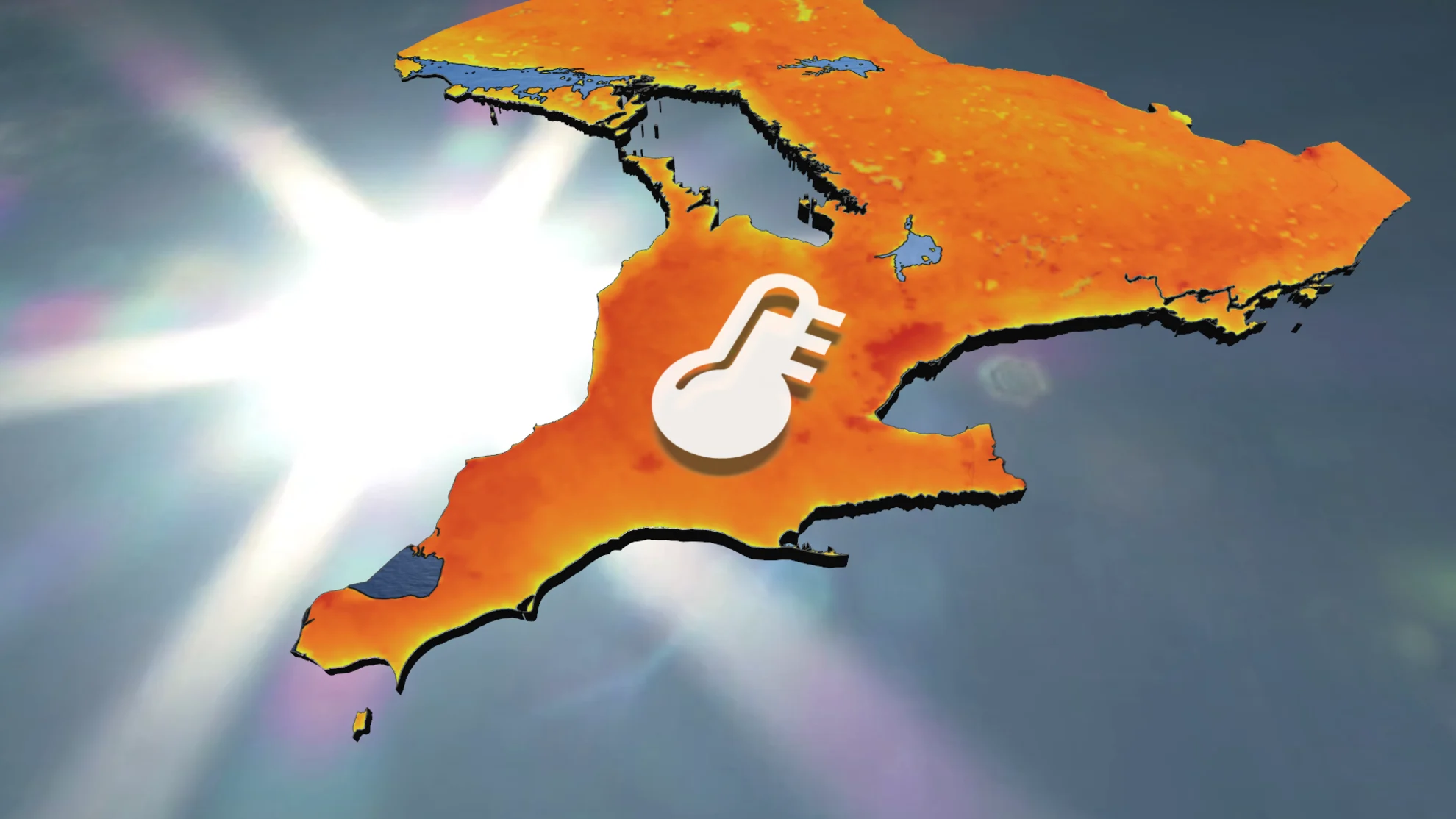
The end of summer is finally delivering an extended stretch of warm and dry weather, including one of our best weather weekends of the year, featuring abundant sunshine across southern Ontario.
The end of summer is finally delivering what the rest of the season could not provide -- an extended stretch of warm and dry weather! That will include one of the best weekends of the year across much of southern Ontario.
While last weekend felt more like October, this weekend will certainly feel like summer, and feature abundant sunshine and dry weather.
Visit our Complete Guide to Fall 2024 for an in depth look at the Fall Forecast, tips to plan for it and much more!
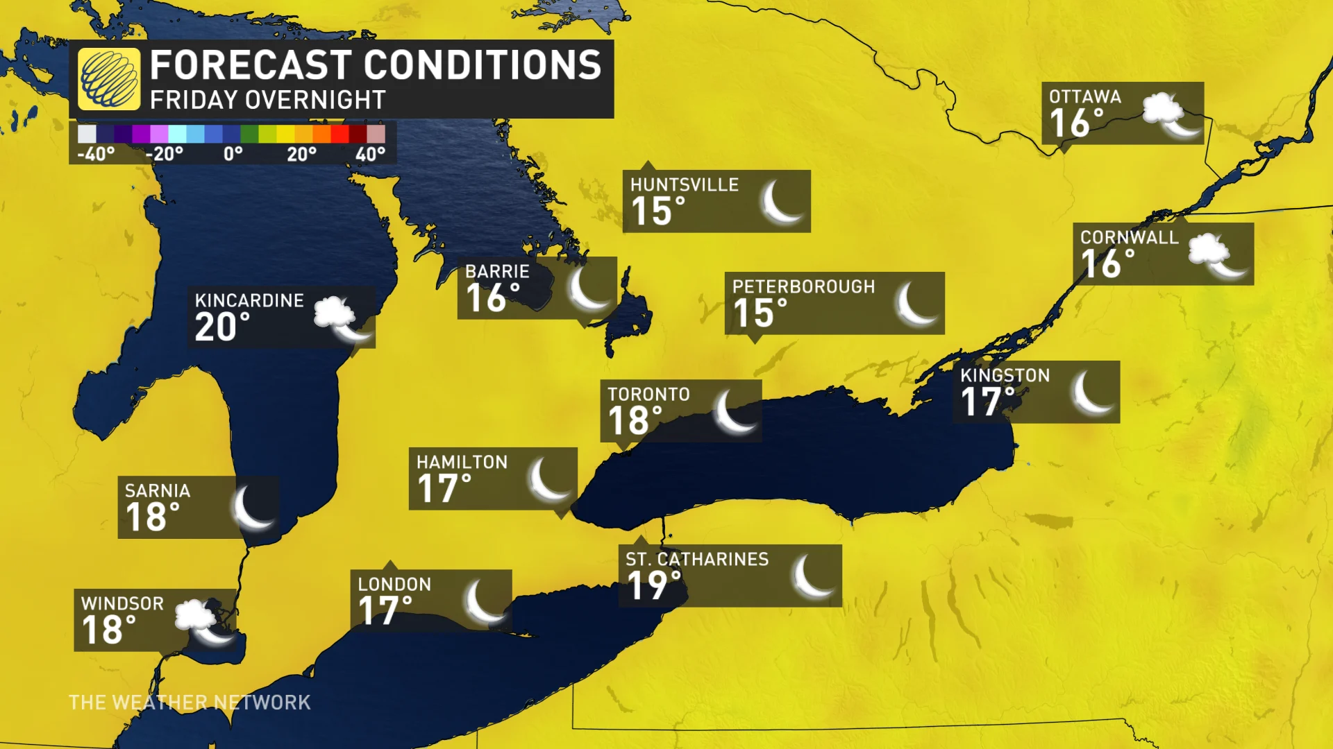
We are kicking off the final full weekend of summer with hazy sunshine and warm temperatures on Friday, with high temperatures in the mid to upper 20s. The warmest temperatures will be found away from the shorelines of the Great Lakes.
Friday night will be clear and mild.
Saturday will be mostly sunny and warm. It will actually be warmer across cottage country this weekend than it will be across the Greater Toronto Area (GTA) where there will be a light southeast breeze off the cooler waters of Lake Ontario.
Saturday night will be clear and mild. Overnight temperatures will be close to what our daytime temperatures were this past weekend.
Sunday will be a repeat of Saturday with sunshine and temperatures will be several degrees above seasonal.
RELATED: Southern Ontario sees its rainiest month on record this summer
Summer warmth hangs on next week despite the official end to the season
Abundant sunshine and warm temperatures will continue through early next week, the final week of summer.
The only potential complication to the forecast for next week is a subtropical storm, which is expected to develop near the coast of the Carolinas. That system will stay well to our south, but it is possible that it will get close enough to bring increasing clouds and a risk for showers to southern Ontario during mid and late next week. However, at this point that risk appears to be low.
Regardless, temperature will remain warmer than normal through the official start of fall, which will begin with the fall equinox on Sunday, September 22nd at 8:43 am EDT. Enjoy!
Be sure to check our official Fall Forecast for what you can expect for the season ahead.