Hot, dusty air is keeping Atlantic hurricane season quiet–for now

Bursts of hot, dry, dusty air flowing off the Sahara Desert are keeping the Atlantic quiet in the wake of historic Hurricane Beryl
The mightiest storms may seem unstoppable as they roar across a steamy ocean. But these fragile monsters can be taken down by simple grains of sand.
Countless specks of Saharan soil lofted into the air can put a lid on even the feistiest Atlantic hurricane season. It’s this pattern of hot, dry, and dusty winds that’s kept the July ocean quiet in the wake of historic Hurricane Beryl.
Check out The Weather Network's hurricane hub for all the latest on this year's Atlantic hurricane season!
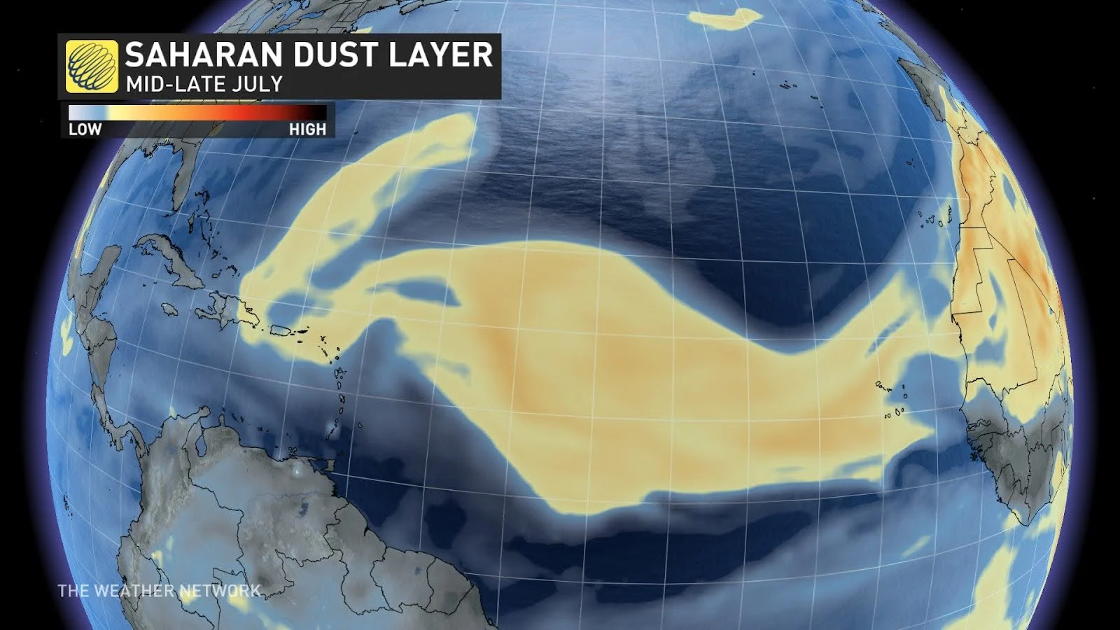
Saharan dust chokes a budding storm
Winds blowing off Africa give life and death to an Atlantic hurricane season. Many of the strongest storms that churn over the ocean are born from groups of thunderstorms that billow over the lush and humid sub-Saharan savannas.
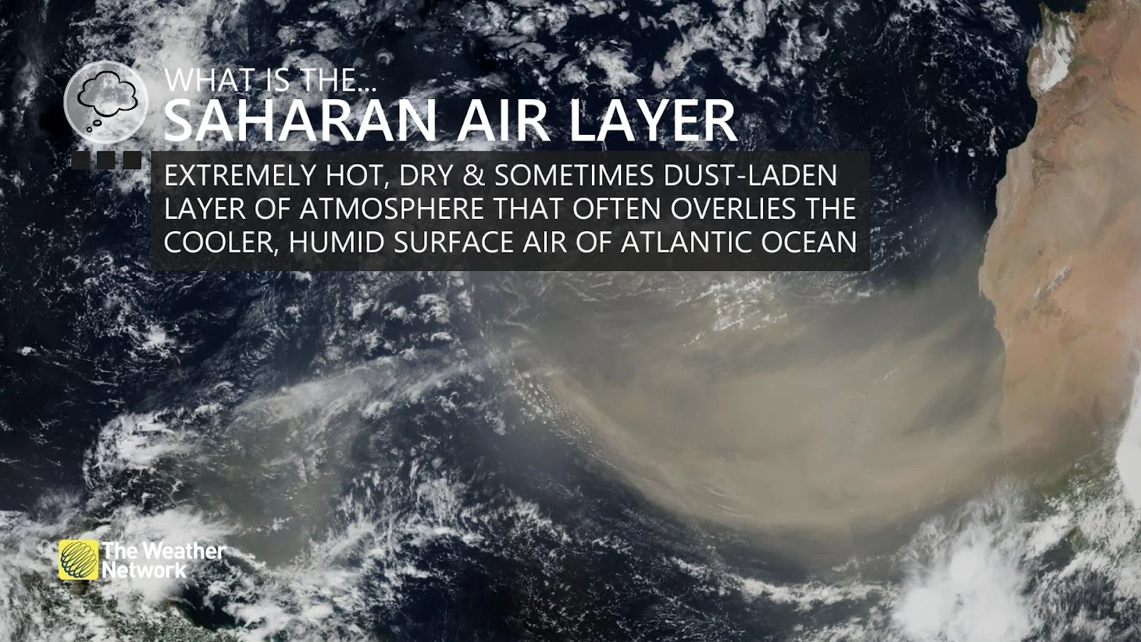
Puffs of wind off Africa aren’t always fruitful for tropical systems. Gusts of hot and dry air streaming off the Sahara Desert can emerge over the open Atlantic as a Saharan Air Layer (SAL).
DON’T MISS: Saharan dust can make or break a monstrous Atlantic hurricane
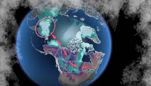
It’s usually easy to spot the dusty winds of a SAL on satellite imagery. These hazy, beige-tinted bursts of desert air travel east to west across the tropical Atlantic Ocean for days at a time.
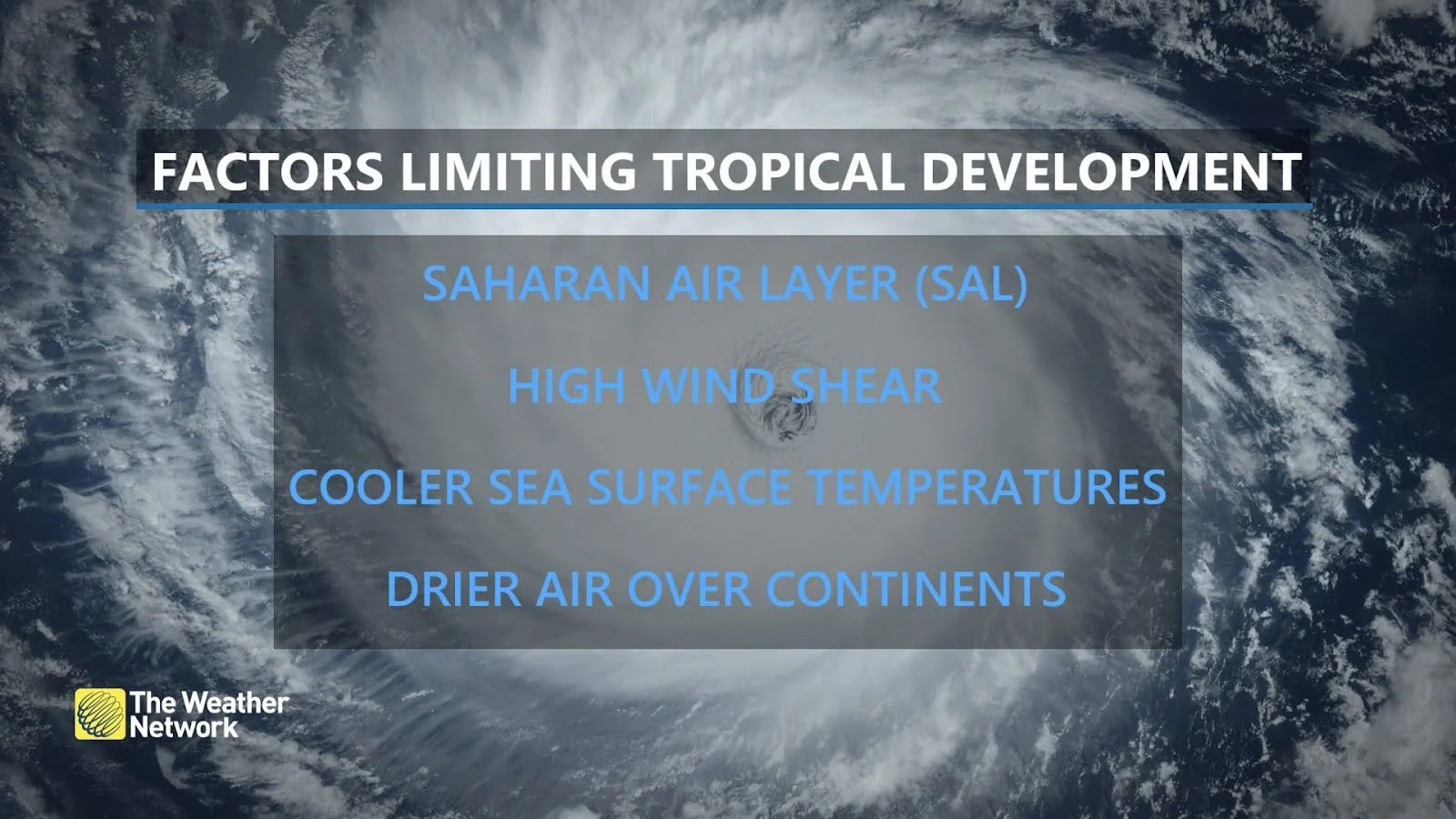
Tropical systems require multiple ingredients to come together just right in order to develop into a hulking storm. Calm winds, ample moisture, and hot ocean waters are all necessary in order for a cluster of thunderstorms to grow into something more ominous.
When a SAL is present, though, wind shear and dry air put a lid on any storms that try to get their act together.
Experts still expect a hyperactive season ahead
Hurricane Beryl churned into the records this month as the earliest Category 5 storm ever observed over the Atlantic basin. The storm reached maximum winds of 265 km/h over the feverish waters of the eastern Caribbean Sea.
MUST SEE: How a mammoth hurricane rapidly intensifies in mere hours
Beryl's strength is what forecasters feared this year. Extremely warm ocean temperatures, along with a developing La Niña over in the Pacific, led forecasters to predict a hyperactive season with as many as two-dozen named storms developing by the end of November.
The SAL keeping things quiet across the Atlantic heading into the latter half of July won’t stick around forever. Intrusions of dry, dusty air from northern Africa typically last a week or two before patterns shift.

It’s likely that we’ll see more favourable conditions for tropical development across the Atlantic heading into the peak of the season in August and September.
Anyone along and near the coast should ready their hurricane preparedness kits now so they’re not caught off guard if a storm threatens in the future.
Header image courtesy of NOAA