
High odds of tropical disturbance creation puts Gulf states on notice
U.S. Gulf travellers beware: A tropical depression is likely to form in the coming days as a disturbance moves slowly across the northwestern Caribbean Sea and Gulf of Mexico through the end of this week
While the peak of the hurricane season is behind us, there is still plenty of life left in it.
In fact, forecasters are watching a disturbance for potential development as it heads toward the Gulf of Mexico through this week. Anyone with interests along the Gulf Coast should pay very close attention to this system over the next several days.
DON’T MISS: La Niña could affect the second half of Atlantic hurricane season

Gulf disturbance has decent odds of development
Weather models have been aggressive about the potential growth of a tropical disturbance currently moving through the western Caribbean Sea.
A broad area of low pressure is likely to form during the next few days over the northwestern Caribbean Sea and the adjacent portions of Central America. Thereafter, gradual development of this system is expected, and a tropical depression is likely to form as the system moves slowly northward across the northwestern Caribbean Sea and Gulf of Mexico through the end of this week.

The U.S. National Hurricane Center (NHC) gives the system a 70 per cent (high) chance of growing into a tropical depression or storm in the next seven days.
"Regardless of development, this system is expected to produce heavy rains over portions of Central America during the next several days," the NHC says in the long-range outlook.
While we know the environment will be favourable for tropical development, it’s still far too early to tell how strong a storm would grow or which direction it would travel. It’s safe to say that the entire Gulf Coast from Mexico to Florida should keep a close eye on the forecasts over the coming days. Heavy rain is likely to accompany this system regardless of its future strength.

Other disturbances out in the open ocean
Forecasters are monitoring two other areas of disturbed weather in the open Atlantic Ocean for signs of potential development over the next five days. One region has a low (20 per cent) chance of tropical formation in the next 48 hours, while the other has a medium probability (40 per cent) in the next seven days.
MUST SEE: Hurricane remnants can bring dangerous weather deep into Canada
No time to let our guard down, yet
The peak of hurricane season occurred on Sept. 10. We’re in the thick of the season through the middle of October, a period during which some of history’s most intense hurricanes have thrived and roared ashore.
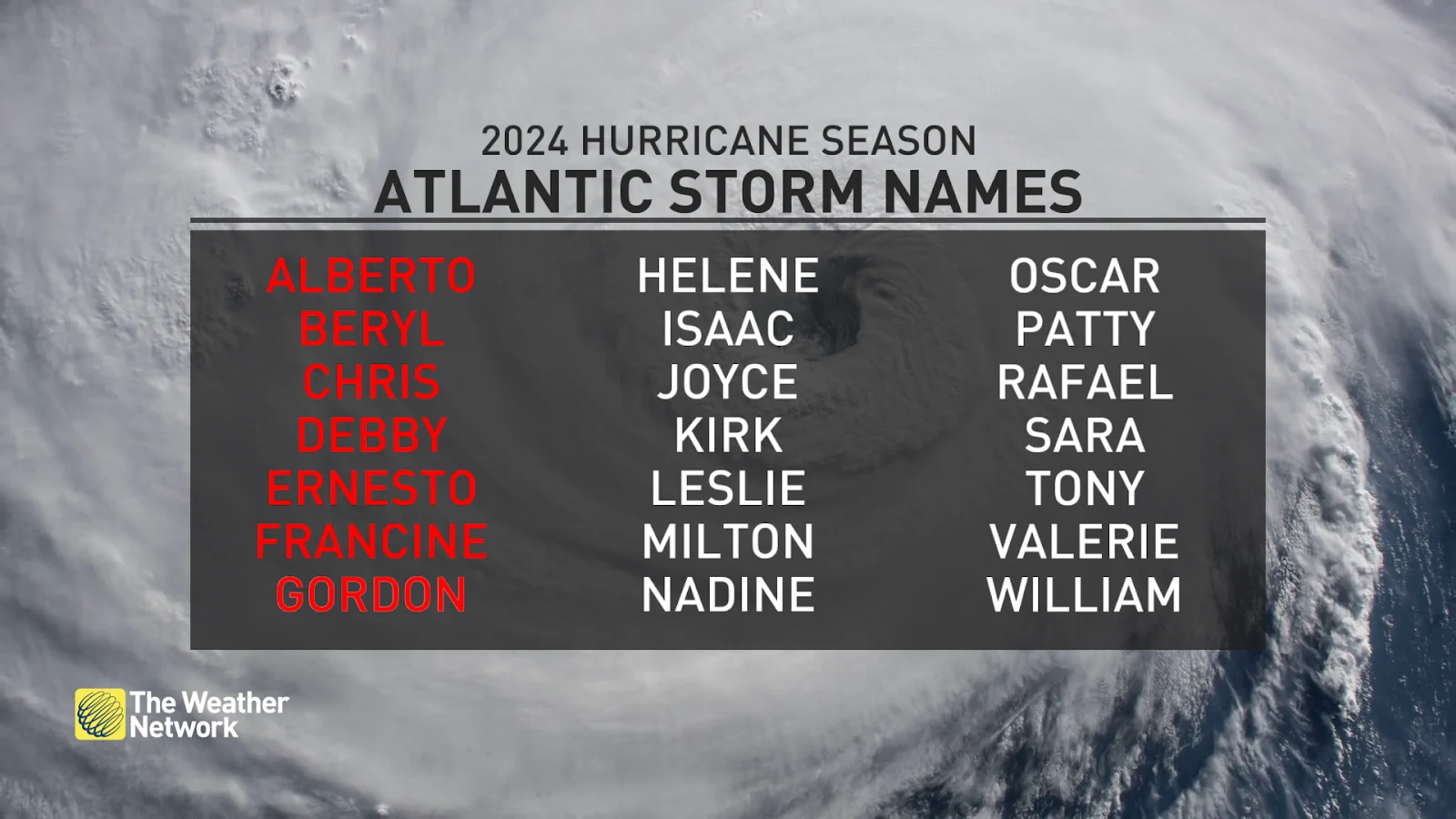
It’s been an unusually and surprisingly quiet hurricane season across the Atlantic Ocean so far this year. Extremely warm sea surface temperatures and a budding La Niña led forecasters to expect a hyperactive season—the opposite has happened so far, with relatively few storms developing over the steamy ocean so far this year.
Despite the unexpected lull in activity this season, we could still see dangerous storms develop over the coming days and weeks. Coastal residents should closely monitor forecasts and have emergency preparedness kits ready to go long before a storm ever threatens land.