Prairies: Severe storms close out Canada Day in Saskatchewan
Severe storms began firing up Monday afternoon.
Severe storms continued in the afternoon in Saskatchewan, with long-lived tornado warnings finally dropping around the 7 o'clock hour, though severe weather is ongoing. For more on storm risk as Canada Day winds down, and what's beyond, read below.
WEATHER HIGHLIGHTS:
Trough brings thunderstorm risk on Canada Day
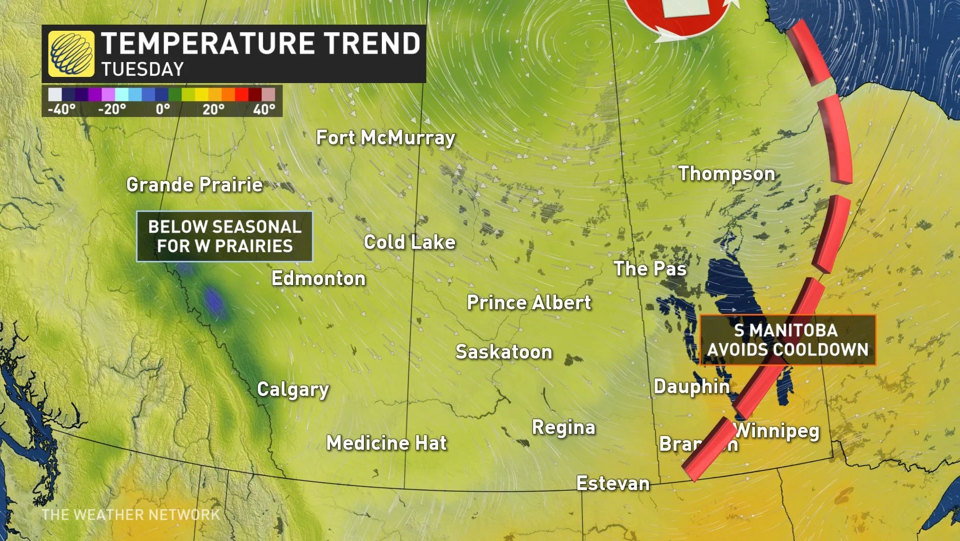
Temperatures will dip below seasonal next week except in Manitoba
Get updates on watches and warnings on our ALERTS page.
WATCH BELOW: CANADA DAY'S THUNDERSTORM DYNAMICS
A trough situated in northern Manitoba, stretching to British Columbia, is what's behind this severe weather, bringing showers and a thunderstorm risk to the southern regions of the western provinces for Canada Day.
While the risk for thunderstorms stretches across the entire region, the storms that do occur are expected to be non-severe for the most part, except for southern Saskatchewan where powerful wind gusts and the chance of hail could occur -- and so far, one tornado warning has been issued, triggered by a storm moving north of Cypress Lake, before dropping not long after 3 p.m.

Showers in the central and southern Prairies should clear out by the evening, however wind gusts could create some trouble for fireworks, and cities in southern Alberta and British Columbia may be dampened by lingering showers.
As the system moves out of the Prairies during the day Tuesday, high pressure will make its way east from B.C. in the evening hours. Areas from northern Alberta to northern Manitoba will continue to see showers.

Beyond Tuesday, cooler-than-seasonal temperatures will dominate across the region by mid-week. By Wednesday, there will be quite a temperature contrast from one end of the Prairies to the other. Calgary may only reach 16 degrees, while Winnipeg will remain on the warm side, hitting a pleasant 27°C.
Stay with us here at The Weather Network for your latest forecast updates.


